Free Trade Zone · Türkiye

Sakarya Ipekyolu Free Zone Inactive
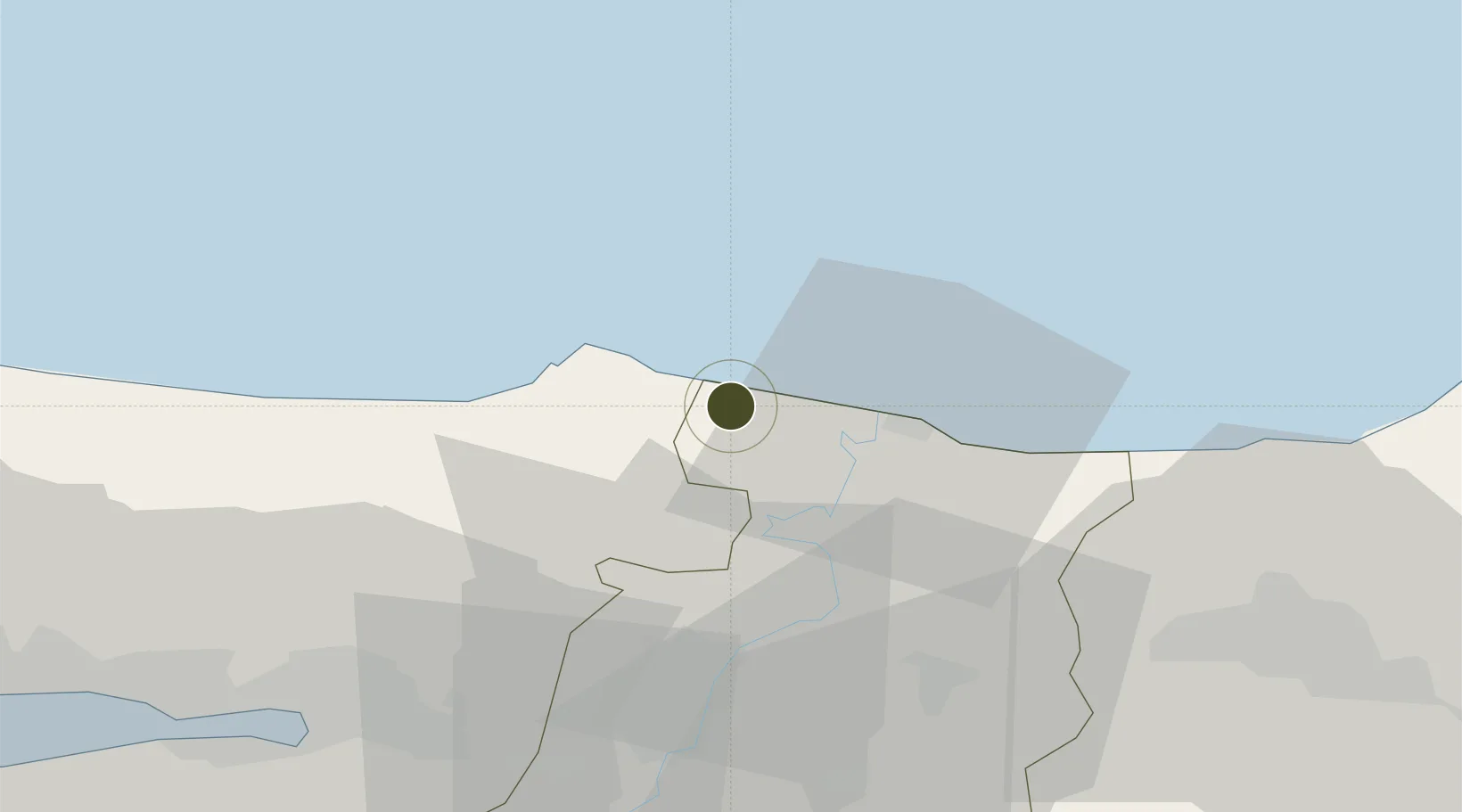
41.1382°, 30.4629°
150 ha
Zone area
61.7 km
Nearest port
55.0 km
Nearest airport

Gateway access

Nearest neighbours — logibook spatial index (haversine) over the source coordinates

Zone profile

Zone type
Free Trade Zone
Open Zone Map
Region
Sakarya
Open Zone Map
Status
Inactive
Open Zone Map
Management
Public-Private Partnership
Open Zone Map
Operator
SISBAS Sakarya Ipekyolu Free Zone Founder and Operator Inc.
Open Zone Map
Legal framework
Free Zones Law: Law Nr. 3218 Approved: June 6, 1985
Open Zone Map

Location

Location of ozm-4570
Natural Earth 10m (public domain) · Sakarya · ozm-4570 · 41.14, 30.46GoogleOSMYandex

Nearby Logistics Neighbours

Ports
  1. 1Izmit62 km
  2. 2Derince Burnu69 km
  3. 3Golcuk Burnu71 km
  4. 4Yarimca74 km
  5. 5Eregli85 km
Nearest neighbours — logibook spatial index (haversine) over the source coordinates
Airports
  1. 1Cengiz Topel Airport55 km
  2. 2Istanbul Sabiha Gökçen International Airport100 km
  3. 3İstanbul Samandıra Army Air Base106 km
  4. 4Bursa Yenişehir Airport124 km
  5. 5İstanbul Atatürk Airport139 km
Nearest neighbours — logibook spatial index (haversine) over the source coordinates
Cities
  1. 1Port of Karasu18 km
  2. 2Kefken19 km
  3. 3Karasu28 km
  4. 4Gümüsova52 km
  5. 5Uzuntarla52 km
Nearest neighbours — logibook spatial index (haversine) over the source coordinates
Trade Zones
  1. 1Sakarya ā°pekyolu Free Zone0 km
  2. 2Asim Kibar Organized Industrial Zone54 km
  3. 3Kocaeli Free Zone68 km
  4. 4Kocaeli Gebze Dilovasi Organized Industrial Zone88 km
  5. 5Gebze Organized Industrial Zone93 km
Nearest neighbours — logibook spatial index (haversine) over the source coordinates
DatabookThe Record of Consolidated Knowledge
Türkiye beyond logistics?
Browse databook

All Sources

Trade ZonesOpen Zone Map
CC BY
Portsthe NGA World Port Index
Public domain (US gov)
AirportsOurAirports
Public domain
LocationsUN/LOCODE
UN/LOCODE — free
← Türkiye trade zones