Transport Functions
Multimodal
Hub Profile
Place type
Provincial seat
Region
Düzce
Time zone
Europe/Istanbul
Elevation
362 m
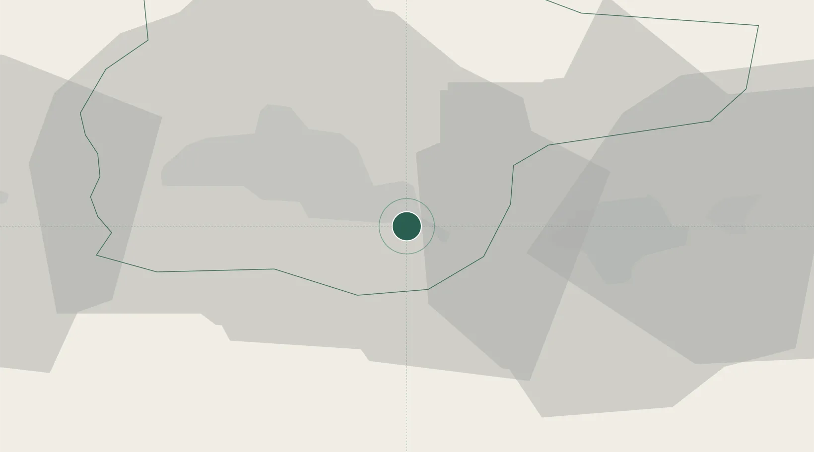
Location
Nearby Logistics Neighbours
Cities
- 1Gümüsova33 km
- 2Karasu56 km
- 3Eregli58 km
- 4Port of Karasu67 km
- 5Zonguldak86 km
Ports
- 1Eregli60 km
- 2Zonguldak88 km
- 3Izmit118 km
- 4Derince Burnu126 km
- 5Golcuk Burnu126 km
Airports
- 1Cengiz Topel Airport104 km
- 2Zonguldak Çaycuma Airport105 km
- 3Çukurhisar Airport107 km
- 4Eskişehir Air Base126 km
- 5Hasan Polatkan Airport126 km
Trade Zones
DatabookThe Record of Consolidated Knowledge
Türkiye beyond logistics?