Medium airport · Türkiye

Kastamonu AirportLTAL
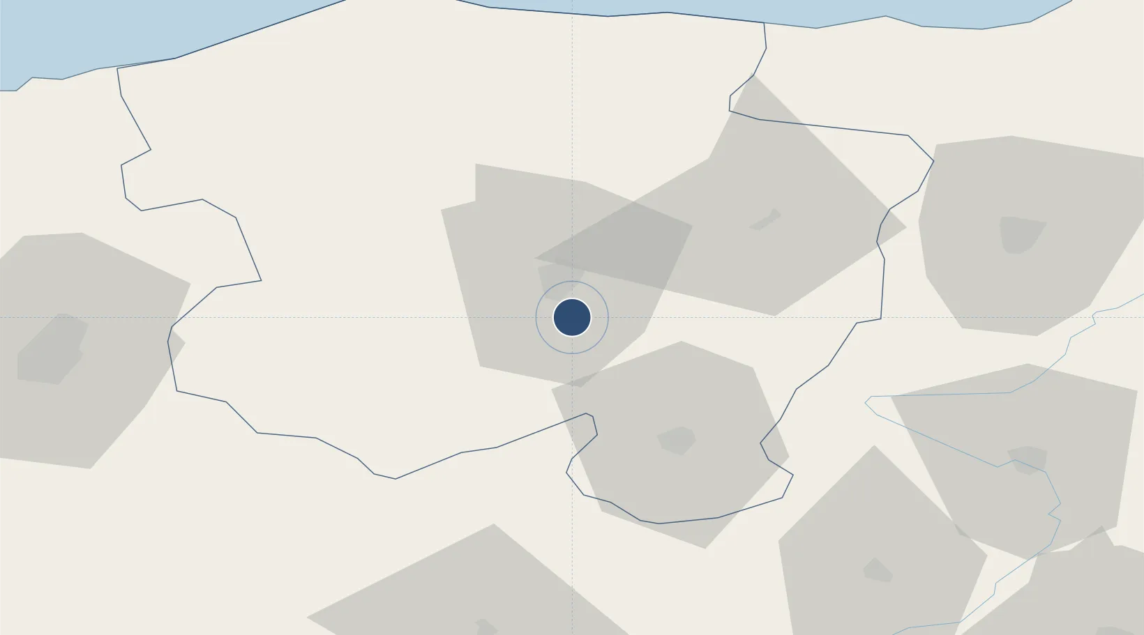
41.3142°, 33.7958°
7,382 ft
Longest runway
1
Runways
3,520 ft
Elevation

Runway & Layout

Kastamonu Airport runway & taxiway layout
Runway & taxiway layout — OpenStreetMap (ODbL) / OurAirports

Runways · 1

RunwayDimensions SurfaceTrue headingLit
18/36 7,382 × 148ft Asphalt 182°
OurAirports

Airport Specifications

IATA code
KFS
OurAirports
ICAO code
LTAL
OurAirports
Airport class
Medium airport
OurAirports
Scheduled service
No
OurAirports
Runway surface
Asphalt
OurAirports
Served city
Kastamonu
OurAirports

Location

Location of LTAL
Natural Earth 10m (public domain) · Kastamonu · LTAL · 41.31, 33.80GoogleOSMYandex

Nearby Logistics Neighbours

Airports
  1. 1Sinop Airport132 km
  2. 2Zonguldak Çaycuma Airport144 km
  3. 3Esenboğa International Airport148 km
  4. 4Amasya Merzifon Airport154 km
  5. 5Akıncı Air Base172 km
Nearest neighbours — logibook spatial index (haversine) over the source coordinates
Cities
  1. 1Gaziler48 km
  2. 2Inebolu73 km
  3. 3Cide94 km
  4. 4Ayancik95 km
  5. 5Çamalti123 km
Nearest neighbours — logibook spatial index (haversine) over the source coordinates
Ports
  1. 1Inebolu74 km
  2. 2Sinop140 km
  3. 3Zonguldak166 km
  4. 4Eregli196 km
  5. 5Samsun213 km
Nearest neighbours — logibook spatial index (haversine) over the source coordinates
DatabookThe Record of Consolidated Knowledge
Türkiye beyond logistics?
Browse databook

All Sources

AirportsOurAirports
Public domain
Portsthe NGA World Port Index
Public domain (US gov)
LocationsUN/LOCODE
UN/LOCODE — free
Trade Zonesthe World Bank SEZ database
CC BY 4.0
Trade ZonesOpen Zone Map
CC BY
InfrastructureOpenStreetMap
ODbL 1.0
← Türkiye airports