Organized Industrial Zone · Türkiye
Ankara Sanayi Odasi I. Sincan Organized Industrial Zone
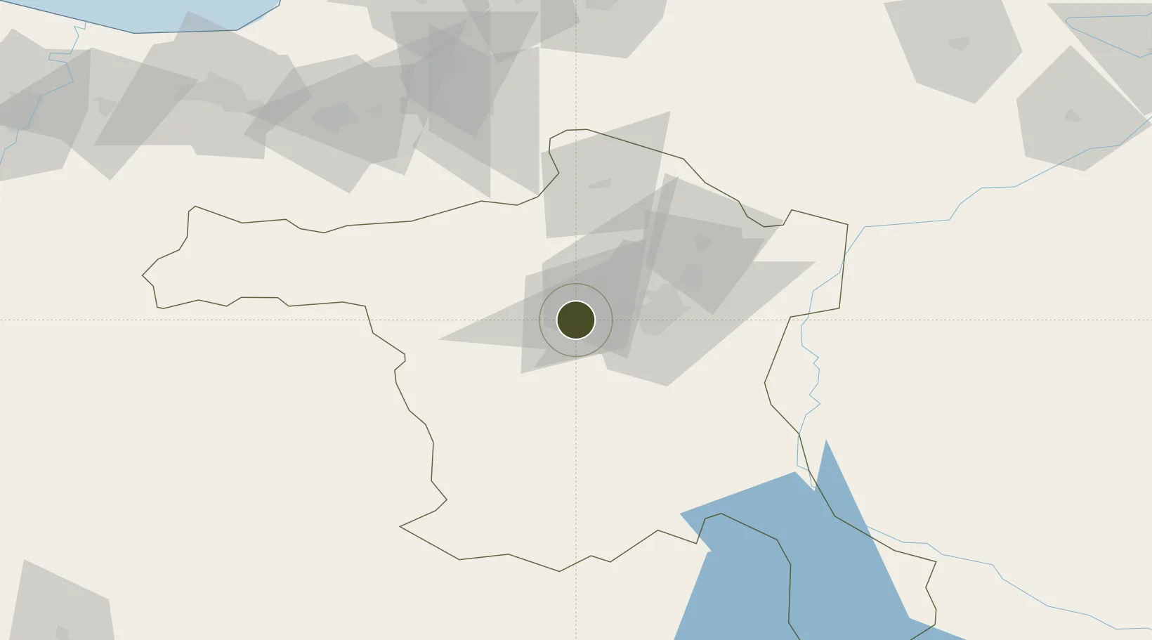
39.9702°, 32.5429°
339 ha
Zone area
174.3 km
Nearest port
12.2 km
Nearest airport
Gateway access
Zone profile
Zone type
Organized Industrial Zone
Region
Ankara
Established
2007
Management
PPP
Operator
Ankara Sanayi Odasi I. Sincan Organized Industrial Zone Administration
Regulatory authority
Ministry of Industry and Trade
Legal framework
Organized Industrial Zones Law
Location
Fiscal & incentives
Corporate tax
20%
Tax relief
30% to 90%, depending on size, location, and sector of investment
Relief duration
Until amount of tax reduction equals 15% to 50% of investment, depending on size, location, and sector of investment
VAT
Excise tax support on goods used in production of electricty to the plants
Import duty (inputs)
0% exempt
Import duty (capex)
100% exempt
Profit repatriation
No exemption
Capital gains
No exemption
Withholding tax
100% exempt from income tax on newly recruited employees
Min. investment
$139K to $278K depending on location of investment
Min. export
0%
Employment incentive
Employer's contribution to insurance premiums are covered by Treasury
Developer incentive
Yes
Nearby Logistics Neighbours
Ports
- 1Eregli174 km
- 2Zonguldak177 km
- 3Izmit240 km
- 4Golcuk Burnu246 km
- 5Inebolu246 km
Airports
- 1Akıncı Air Base12 km
- 2Etimesgut Air Base13 km
- 3Temelli Air Base29 km
- 4Esenboğa International Airport42 km
- 5Sivrihisar Airport116 km
Cities
- 1Ankara14 km
- 2Karagedik50 km
- 3Hasanoglan55 km
- 4Elmadag58 km
- 5Kaynasli137 km
DatabookThe Record of Consolidated Knowledge
Türkiye beyond logistics?