Transport Functions
Road
Multimodal
Hub Profile
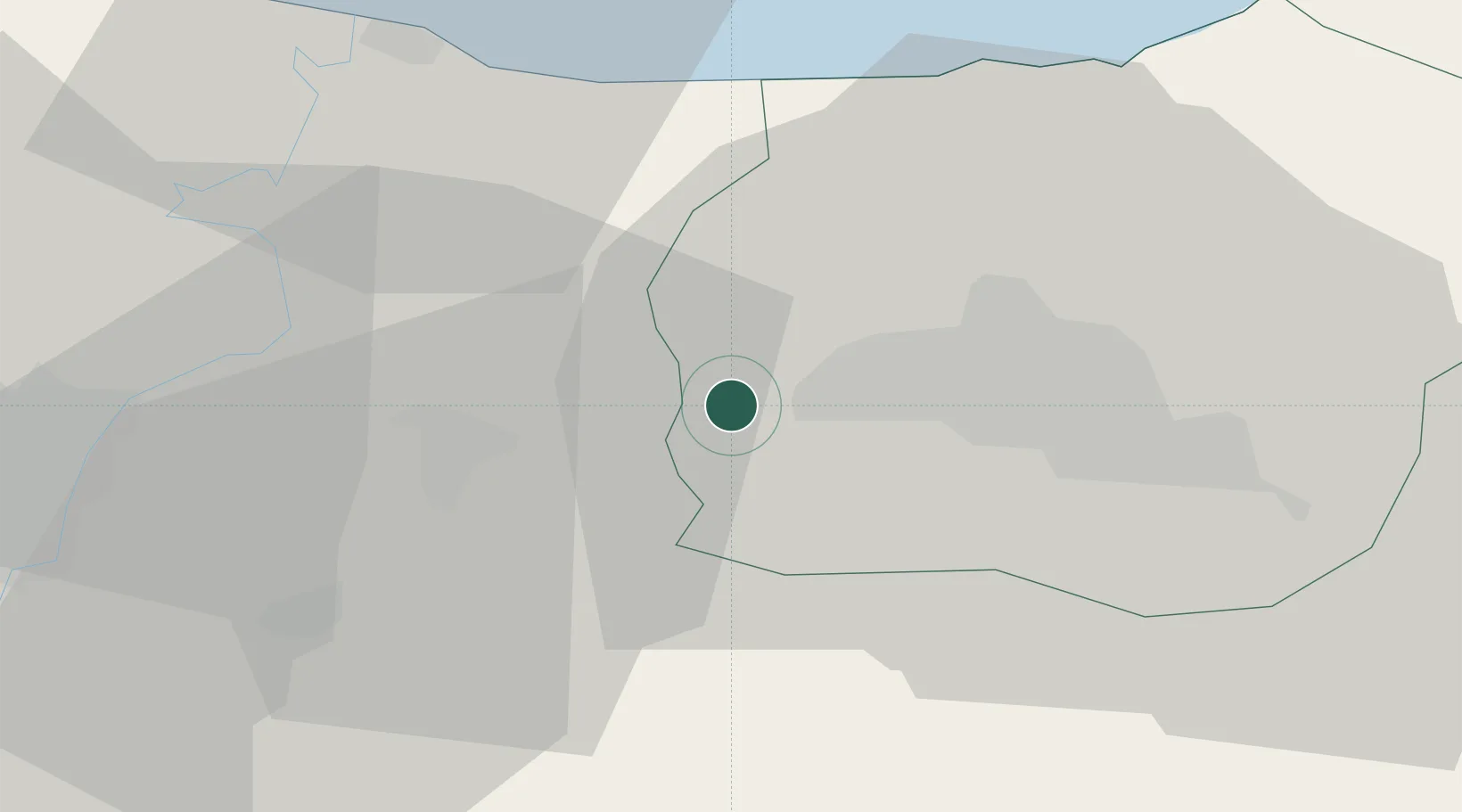
Place type
Populated place
Region
Sinop
Time zone
Europe/Istanbul
Elevation
459 m
Location
Nearby Logistics Neighbours
Cities
- 1Karasu29 km
- 2Kaynasli33 km
- 3Port of Karasu39 km
- 4Eregli64 km
- 5Uzuntarla67 km
Ports
- 1Eregli68 km
- 2Izmit86 km
- 3Derince Burnu95 km
- 4Golcuk Burnu95 km
- 5Zonguldak102 km
Airports
- 1Cengiz Topel Airport72 km
- 2Çukurhisar Airport110 km
- 3Hasan Polatkan Airport119 km
- 4Eskişehir Air Base120 km
- 5Zonguldak Çaycuma Airport122 km
Trade Zones
DatabookThe Record of Consolidated Knowledge
Türkiye beyond logistics?