Large airport · Türkiye
Esenboğa International AirportLTAC
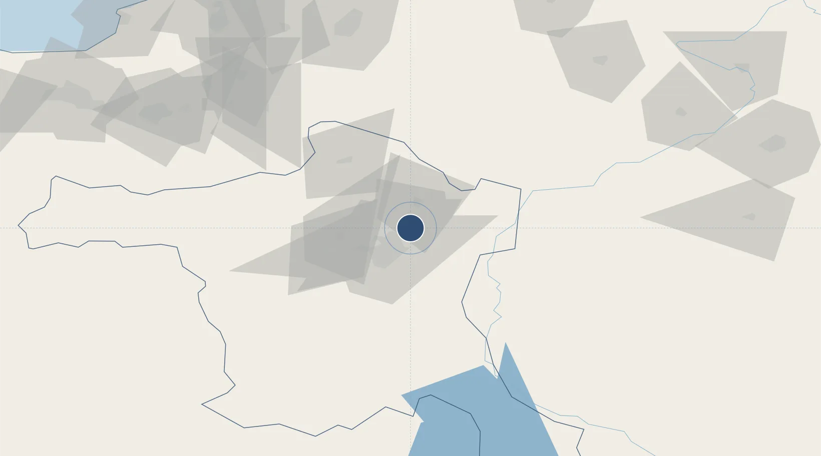
40.1281°, 32.9951°
12,303 ft
Longest runway
2
Runways
3,125 ft
Elevation
Runway & Layout

Radio Frequencies
ATIS
123.6 MHz
TWR
118.1 MHz
GND
121.9 MHz
APP
119.1 MHz
Navaids
BUK VOR-DME Cubuk 114.30 MHz
Runways · 2
| Runway | Dimensions | Surface | True heading | Lit |
|---|---|---|---|---|
| 03L/21R | 12,303 × 148ft | Asphalt | 036° | ✓ |
| 03R/21L | 12,303 × 197ft | Asphalt | 035° | ✓ |
Airport Specifications
IATA code
ESB
ICAO code
LTAC
Airport class
Large airport
Scheduled service
Yes
Runway surface
Asphalt
Served city
Ankara
Location
Nearby Logistics Neighbours
Airports
- 1Etimesgut Air Base33 km
- 2Akıncı Air Base37 km
- 3Temelli Air Base68 km
- 4Kastamonu Airport148 km
- 5Sivrihisar Airport158 km
Cities
- 1Hasanoglan21 km
- 2Elmadag30 km
- 3Ankara32 km
- 4Karagedik65 km
- 5Gaziler101 km
Ports
- 1Zonguldak179 km
- 2Eregli184 km
- 3Inebolu216 km
- 4Izmit270 km
- 5Golcuk Burnu277 km
DatabookThe Record of Consolidated Knowledge
Türkiye beyond logistics?