Transport Functions
Port
Hub Profile
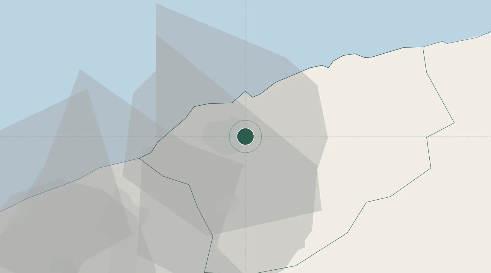
Place type
Populated place
Region
Bartın
Population
325
Time zone
Europe/Istanbul
Elevation
63 m
Location
Nearby Logistics Neighbours
Cities
- 1Zonguldak55 km
- 2Cide57 km
- 3Suez Canal72 km
- 4Eregli92 km
- 5Inebolu120 km
Airports
- 1Zonguldak Çaycuma Airport29 km
- 2Kastamonu Airport123 km
- 3Akıncı Air Base175 km
- 4Esenboğa International Airport177 km
- 5Etimesgut Air Base191 km
Trade Zones
DatabookThe Record of Consolidated Knowledge
Türkiye beyond logistics?