Transport Functions
Port
Road
Hub Profile
Place type
Provincial seat
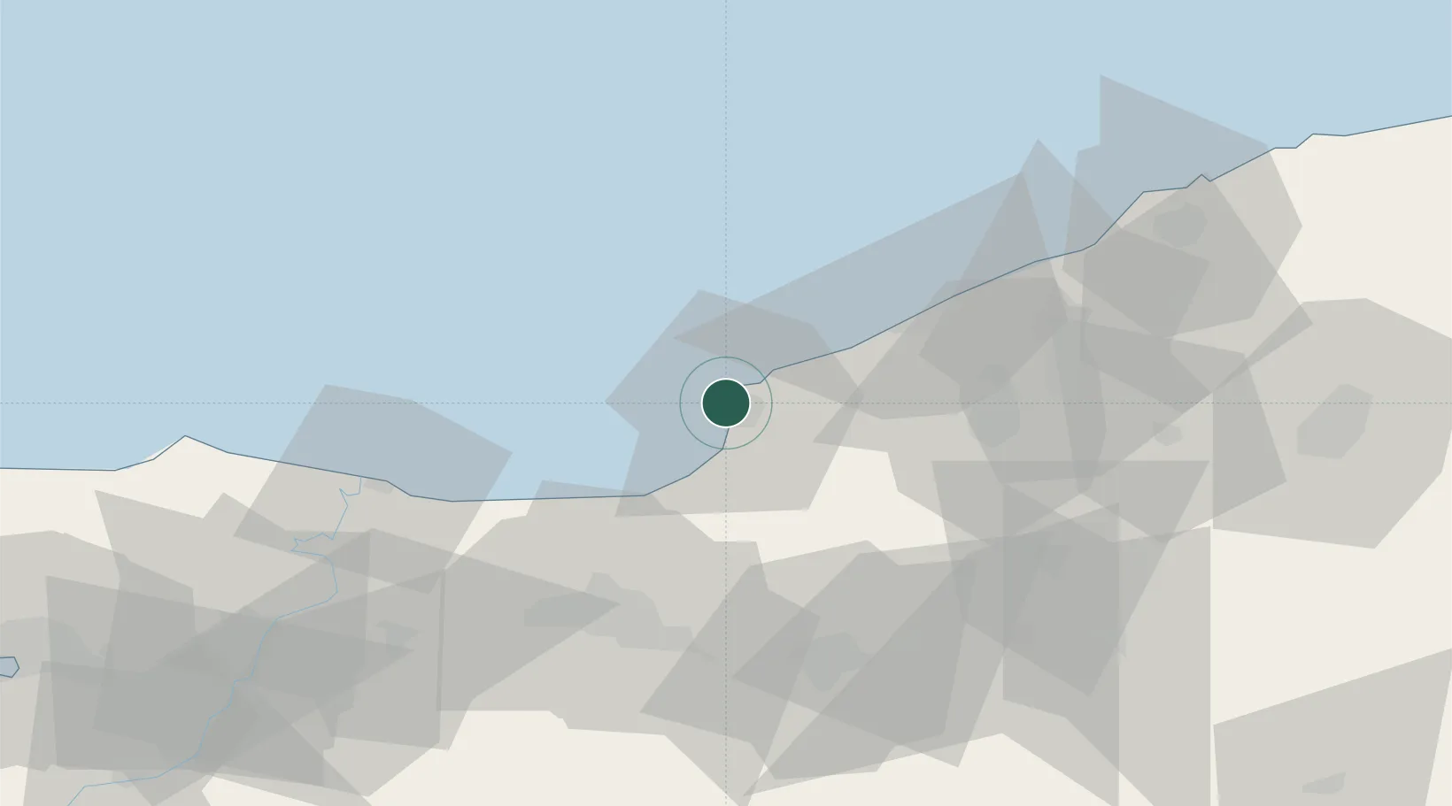
Region
Zonguldak Province
Population
88,848
Time zone
Europe/Istanbul
Elevation
43 m
Location
Nearby Logistics Neighbours
Cities
- 1Zonguldak37 km
- 2Karasu57 km
- 3Kaynasli58 km
- 4Port of Karasu64 km
- 5Gümüsova64 km
Ports
- 1Zonguldak40 km
- 2Izmit137 km
- 3Derince Burnu146 km
- 4Golcuk Burnu146 km
- 5Yarimca152 km
Airports
- 1Zonguldak Çaycuma Airport63 km
- 2Cengiz Topel Airport126 km
- 3Çukurhisar Airport164 km
- 4Akıncı Air Base166 km
- 5Hasan Polatkan Airport180 km
Trade Zones
DatabookThe Record of Consolidated Knowledge
Türkiye beyond logistics?