Seaport · Türkiye

IneboluTRINE

41.9833°, 33.7667°
4.9 m
Channel depth
Inebolu is also a UN/LOCODE logistics hub →

Channel & Berth Profile

SEA LEVEL (CD)CHANNEL BEDChannel · 4.9 mAnchorage · 4.9 mCargo pier · 4.9 m
NGA World Port Index

Pilotage, Tugs & Services

Pilotage availableNO
Tug assistanceNO
Potable waterYES
Diesel bunkersYES
MedicalYES
NGA World Port Index

Facilities & Capabilities

Container
Ro-Ro
Liquid bulk
Dry bulk
Oil terminal
Break bulk
Dry dock
Repairs
BunkeringYES
Rail link
Dangerous cargo
ISPS security
NGA World Port Index

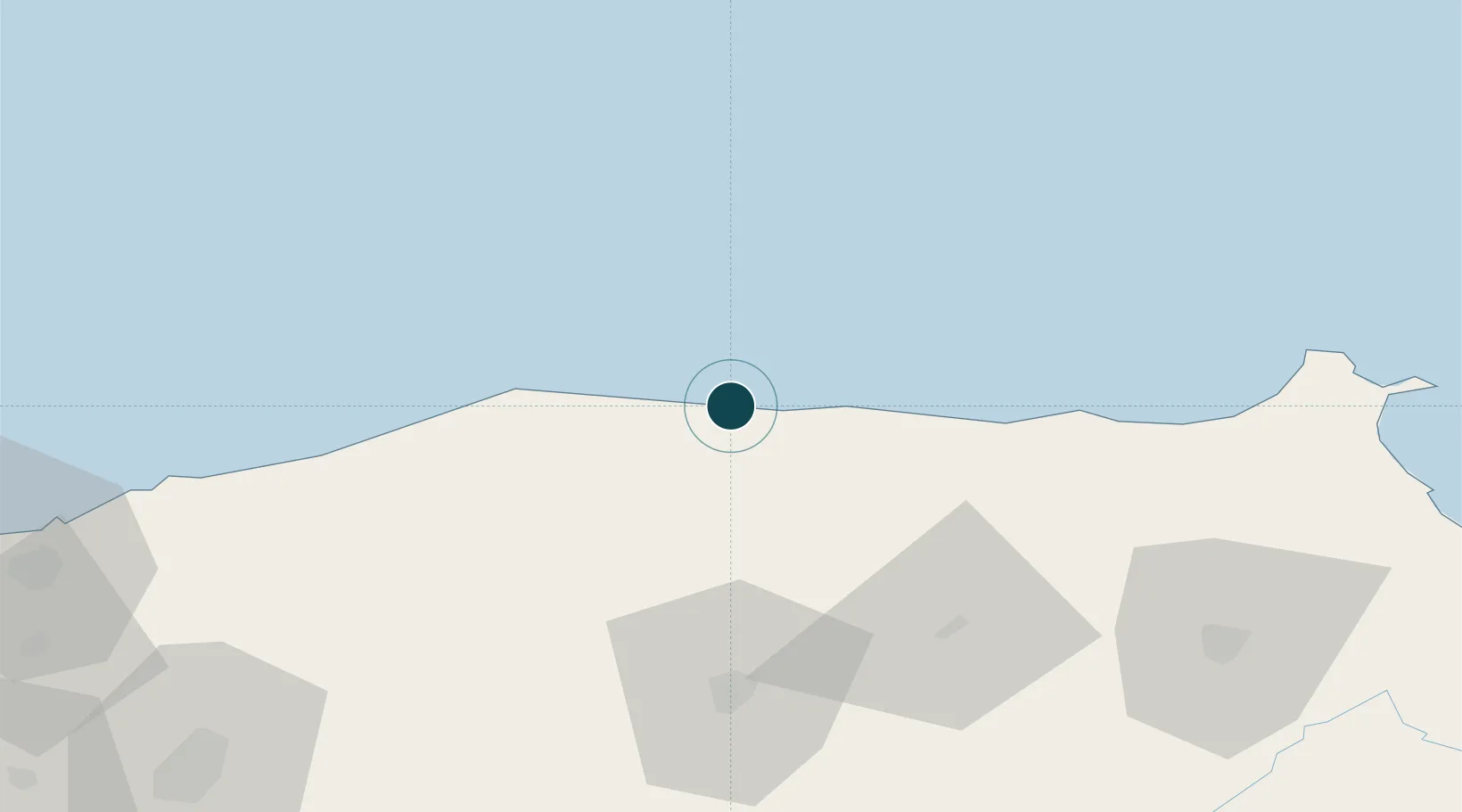
Harbour Specifications

Harbour size
Very Small
NGA World Port Index
Harbour type
Coastal (Breakwater)
NGA World Port Index
Shelter
Poor
NGA World Port Index
Water body
Black Sea; North Atlantic Ocean
NGA World Port Index

Location

Location of TRINE
Natural Earth 10m (public domain) · Kastamonu · TRINE · 41.98, 33.77GoogleOSMYandex

Nearby Logistics Neighbours

Ports
  1. 1Sinop116 km
  2. 2Zonguldak172 km
  3. 3Eregli207 km
  4. 4Samsun228 km
  5. 5Yalta280 km
Nearest neighbours — logibook spatial index (haversine) over the source coordinates
Cities
  1. 1Cide65 km
  2. 2Ayancik68 km
  3. 3Sinop113 km
  4. 4Çamalti121 km
  5. 5Gaziler121 km
Nearest neighbours — logibook spatial index (haversine) over the source coordinates
Airports
  1. 1Kastamonu Airport74 km
  2. 2Sinop Airport108 km
  3. 3Zonguldak Çaycuma Airport149 km
  4. 4Amasya Merzifon Airport195 km
  5. 5Esenboğa International Airport216 km
Nearest neighbours — logibook spatial index (haversine) over the source coordinates
DatabookThe Record of Consolidated Knowledge
Türkiye beyond logistics?
Browse databook

All Sources

Portsthe NGA World Port Index
Public domain (US gov)
AirportsOurAirports
Public domain
LocationsUN/LOCODE
UN/LOCODE — free
Trade Zonesthe World Bank SEZ database
CC BY 4.0
Trade ZonesOpen Zone Map
CC BY
← Türkiye ports