Transport Functions
Port
Road
Hub Profile
Place type
Provincial seat
Region
Sakarya
Population
30,746
Time zone
Europe/Istanbul
Elevation
6 m
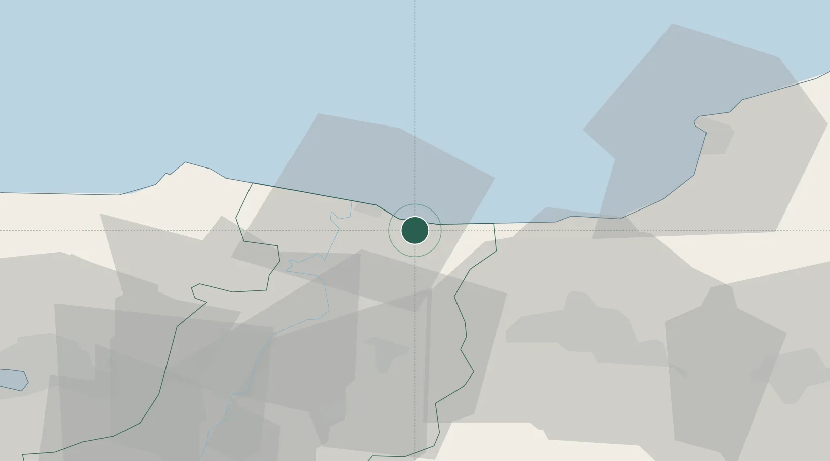
Location
Nearby Logistics Neighbours
Cities
- 1Port of Karasu11 km
- 2Gümüsova29 km
- 3Kefken47 km
- 4Kaynasli56 km
- 5Eregli57 km
Ports
- 1Eregli62 km
- 2Izmit80 km
- 3Derince Burnu89 km
- 4Golcuk Burnu89 km
- 5Yarimca96 km
Airports
Trade Zones
DatabookThe Record of Consolidated Knowledge
Türkiye beyond logistics?