UN/LOCODE hub · Türkiye
TREYP

Evyap Port /Kocaeli

40.7667°, 29.7000°
3
Transport functions

Transport Functions

Port
Rail
Road
UN/LOCODE

Hub Profile

Region
41
GeoNames

Location

Location of TREYP
Natural Earth 10m (public domain) · 41 · TREYP · 40.77, 29.70GoogleOSMYandex

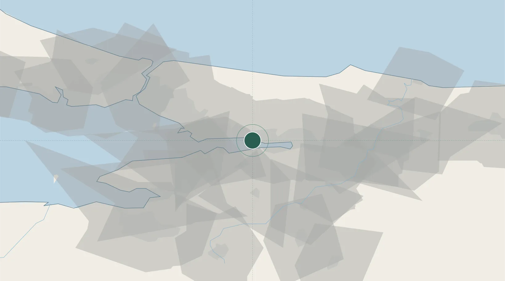
Nearby Logistics Neighbours

Cities
  1. 1Körfez2 km
  2. 2Yarimca4 km
  3. 3Izmit4 km
  4. 4Derince9 km
  5. 5Yilport14 km
Nearest neighbours — logibook spatial index (haversine) over the source coordinates
Ports
  1. 1Yarimca4 km
  2. 2Derince Burnu10 km
  3. 3Golcuk Burnu11 km
  4. 4Gebze13 km
  5. 5Izmit18 km
Nearest neighbours — logibook spatial index (haversine) over the source coordinates
Airports
  1. 1Cengiz Topel Airport33 km
  2. 2Istanbul Sabiha Gökçen International Airport36 km
  3. 3İstanbul Samandıra Army Air Base48 km
  4. 4Bursa Yenişehir Airport58 km
  5. 5İstanbul Atatürk Airport77 km
Nearest neighbours — logibook spatial index (haversine) over the source coordinates
Trade Zones
  1. 1Kocaeli Gebze Dilovasi Organized Industrial Zone14 km
  2. 2Kocaeli Free Zone15 km
  3. 3TUBITAK Technology Free Zone and Technopark21 km
  4. 4TÜBā°TAK Technology Free Zone and Technopark21 km
  5. 5Gebze Organized Industrial Zone25 km
Nearest neighbours — logibook spatial index (haversine) over the source coordinates
DatabookThe Record of Consolidated Knowledge
Türkiye beyond logistics?
Browse databook

All Sources

LocationsUN/LOCODE
UN/LOCODE — free
Portsthe NGA World Port Index
Public domain (US gov)
AirportsOurAirports
Public domain
Trade Zonesthe World Bank SEZ database
CC BY 4.0
Trade ZonesOpen Zone Map
CC BY
← Türkiye locations