Transport Functions
Port
Hub Profile
Place type
Provincial seat
Region
Trabzon
Population
45,105
Time zone
Europe/Istanbul
Elevation
21 m
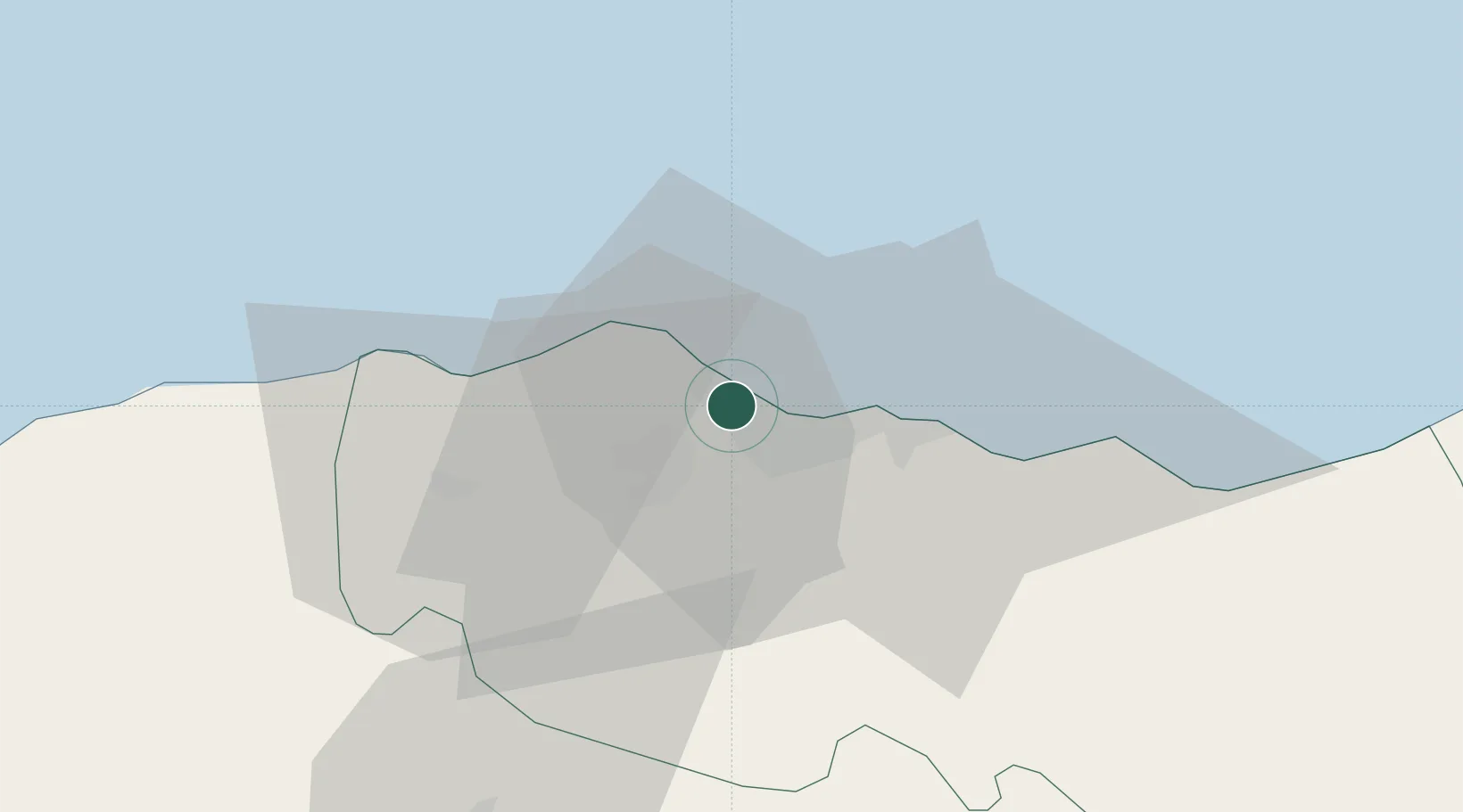
Location
Nearby Logistics Neighbours
Cities
- 1Trabzon14 km
- 2Vakfikebir25 km
- 3Görele48 km
- 4Surmene48 km
- 5Tirebolu64 km
Airports
- 1Trabzon International Airport19 km
- 2Rize–Artvin Airport109 km
- 3Ordu–Giresun Airport124 km
- 4Erzincan Airport145 km
- 5Erzurum International Airport180 km
Trade Zones
DatabookThe Record of Consolidated Knowledge
Türkiye beyond logistics?