Transport Functions
Port
Hub Profile
Place type
Provincial seat
Region
Istanbul
Population
11,596
Time zone
Europe/Istanbul
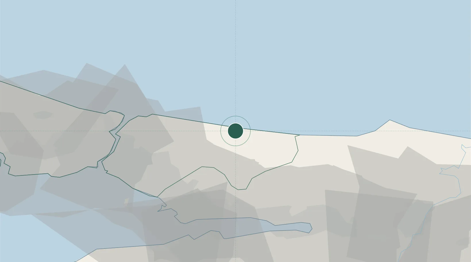
Location
Nearby Logistics Neighbours
Cities
- 1Yenikoy7 km
- 2Pasaköy33 km
- 3Sekerpinar40 km
- 4Gebze42 km
- 5Yayalar43 km
Ports
- 1Yarimca42 km
- 2Gebze45 km
- 3Istinye46 km
- 4Derince Burnu50 km
- 5Golcuk Burnu52 km
Airports
DatabookThe Record of Consolidated Knowledge
Türkiye beyond logistics?