Transport Functions
Port
Hub Profile
Place type
Regional capital
Region
Rize Province
Population
119,828
Time zone
Europe/Istanbul
Elevation
63 m
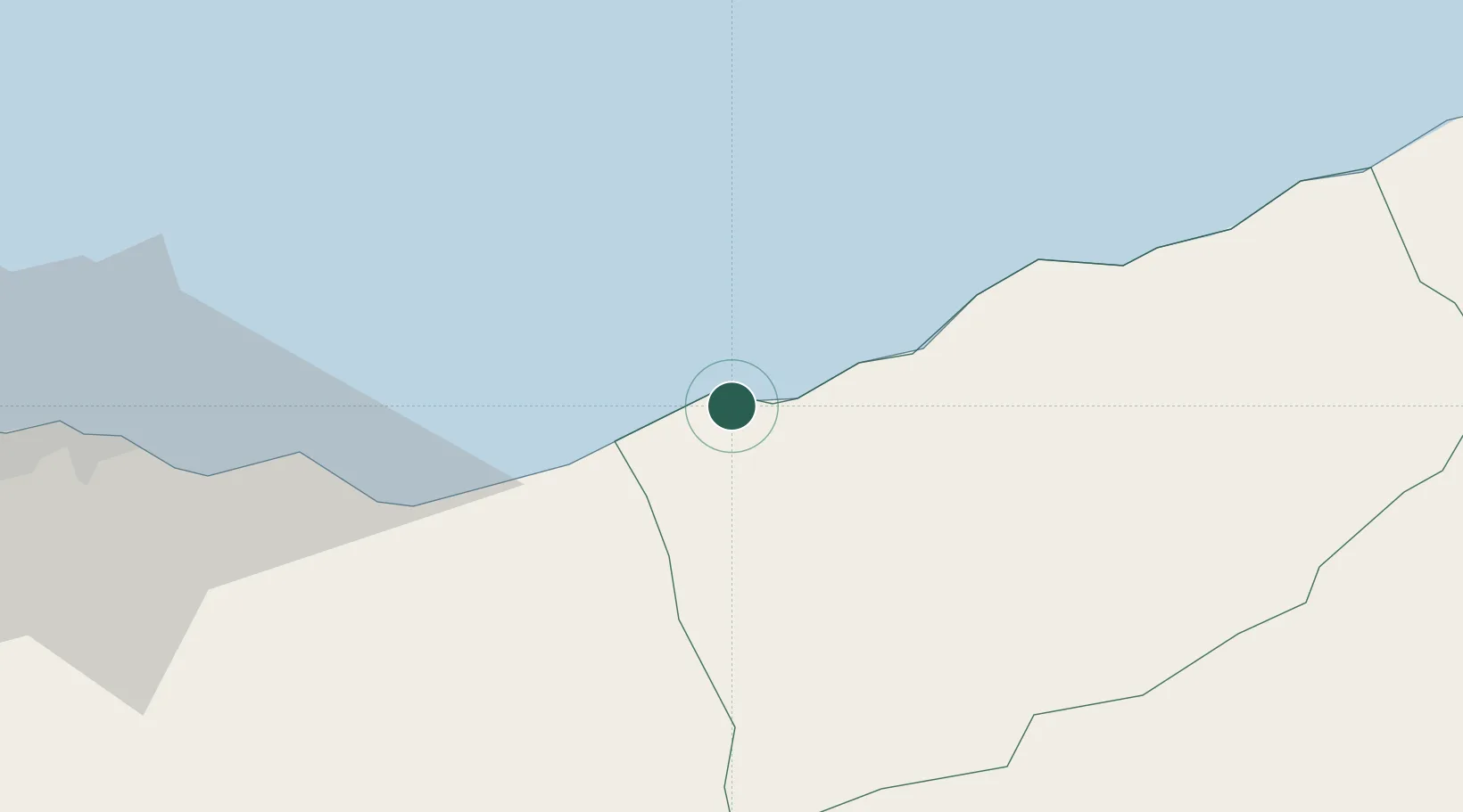
Location
Nearby Logistics Neighbours
Ports
- 1Trabzon60 km
- 2Hopa88 km
- 3Batumi119 km
- 4Supsa Marine Terminal157 km
- 5Giresun175 km
Airports
Trade Zones
DatabookThe Record of Consolidated Knowledge
Türkiye beyond logistics?