UN/LOCODE hub · Türkiye
TRTZX
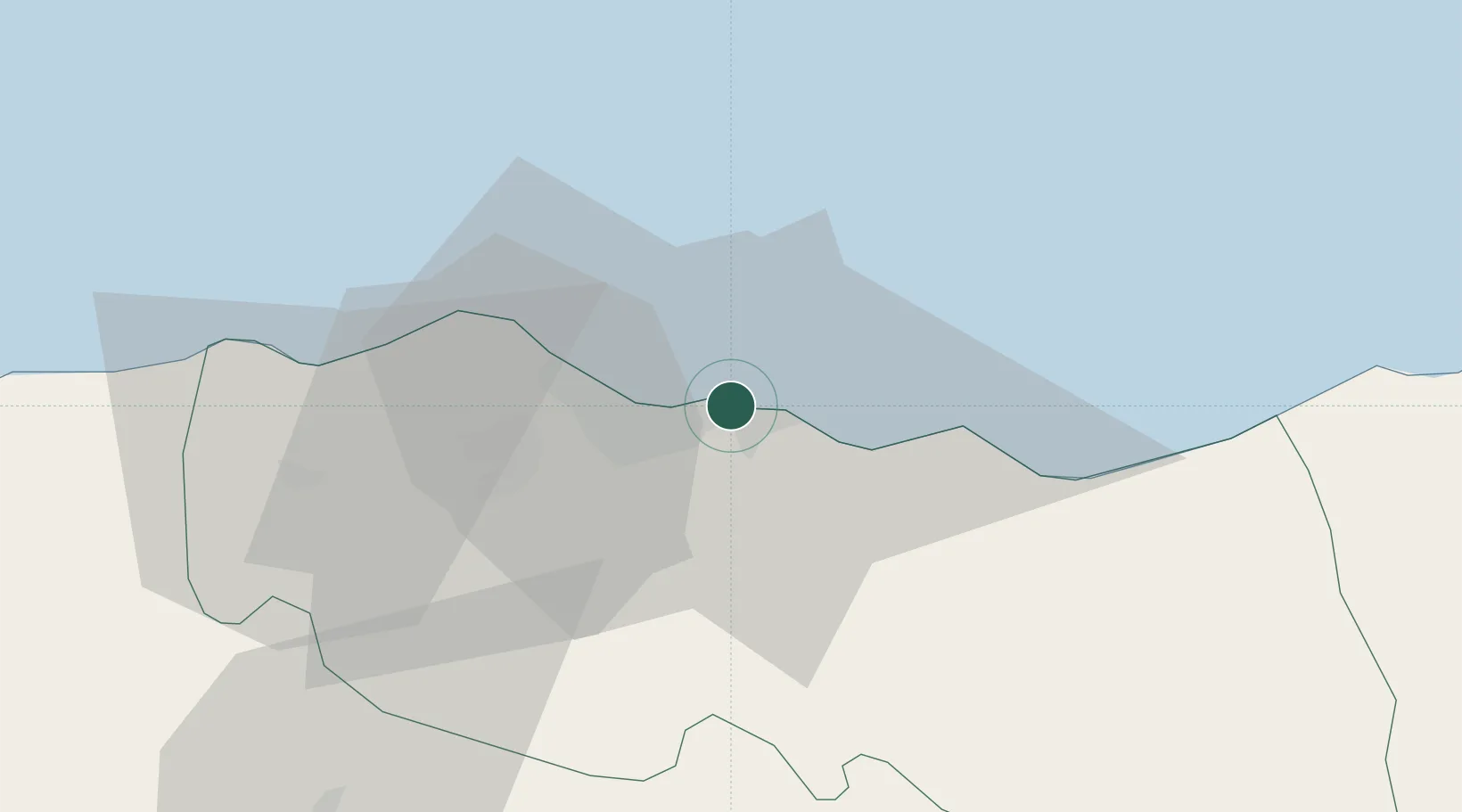
Trabzon
41.0047°, 39.7375°
244,083
Population
3
Transport functions
1
Container terminals
Transport Functions
Port
Road
Airport
Hub Profile
Place type
Regional capital
Region
Trabzon
Population
244,083
Time zone
Europe/Istanbul
Elevation
39 m
Logistics facilities
2
Container terminals
1
Location
Nearby Logistics Neighbours
Cities
- 1Akçaabat14 km
- 2Surmene34 km
- 3Vakfikebir40 km
- 4Görele62 km
- 5Rize63 km
Airports
- 1Trabzon International Airport5 km
- 2Rize–Artvin Airport95 km
- 3Ordu–Giresun Airport139 km
- 4Erzincan Airport145 km
- 5Erzurum International Airport168 km
Trade Zones
DatabookThe Record of Consolidated Knowledge
Türkiye beyond logistics?