About
Methodology
Sources
Licensing
English
EN
English
TR
Türkçe
DE
Deutsch
FR
Français
ES
Español
IT
Italiano
PT
Português
NL
Nederlands
PL
Polski
RU
Русский
UK
Українська
CS
Čeština
RO
Română
EL
Ελληνικά
BG
Български
AR
العربية
FA
فارسی
UR
اردو
HI
हिन्दी
BN
বাংলা
ID
Bahasa Indonesia
VI
Tiếng Việt
ZH
中文
JA
日本語
KO
한국어
logibook
/
Countries
/
Türkiye
/
Locations
/
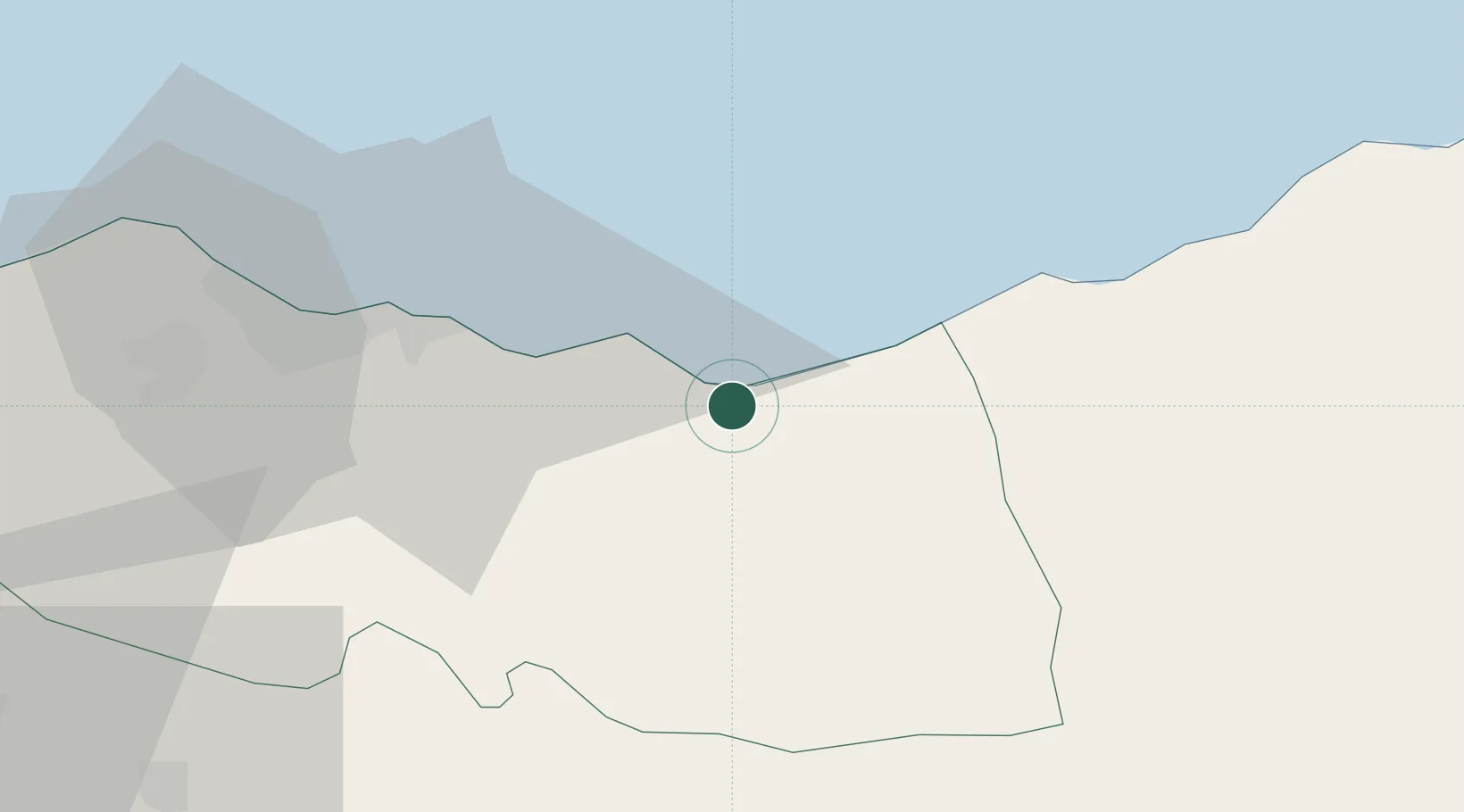
Surmene
UN/LOCODE hub ·
Türkiye
TR
SUR
Surmene
40.9000°, 40.1167°
1
Transport functions
Transport Functions
Port
UN/LOCODE
Hub Profile
Region
61
GeoNames
Location
Natural Earth 10m (public domain) · 61 · TRSUR · 40.90, 40.12
Google ↗
OSM ↗
Yandex ↗
Nearby Logistics Neighbours
Cities
1
Trabzon
34 km
2
Rize
34 km
3
Akçaabat
48 km
4
Pazar
71 km
5
Vakfikebir
73 km
Nearest neighbours — logibook spatial index (haversine) over the source coordinates
Ports
1
Trabzon
32 km
2
Rize
38 km
3
Hopa
122 km
4
Giresun
144 km
5
Batumi
153 km
Nearest neighbours — logibook spatial index (haversine) over the source coordinates
Airports
1
Trabzon International Airport
29 km
2
Rize–Artvin Airport
69 km
3
Erzurum International Airport
138 km
4
Erzincan Airport
141 km
5
Alexander Kartveli Batumi International Airport
147 km
Nearest neighbours — logibook spatial index (haversine) over the source coordinates
Trade Zones
1
Trabzon Free Zone
34 km
2
Poti Free Industrial Zone
192 km
3
Kulevi Free Industrial Zone
198 km
4
Kutaisi Free Industrial Zone - Fresh Georgia, LLC.
257 km
5
Kutaisi Free Industrial Zone (Hualing)
258 km
Nearest neighbours — logibook spatial index (haversine) over the source coordinates
Data
book
The Record of Consolidated Knowledge
Türkiye beyond logistics?
Browse databook
→
All Sources
Locations
UN/LOCODE
UN/LOCODE — free
↗
Ports
the NGA World Port Index
Public domain (US gov)
↗
Airports
OurAirports
Public domain
↗
Trade Zones
the World Bank SEZ database
CC BY 4.0
↗
Trade Zones
Open Zone Map
CC BY
↗
← Türkiye locations