UN/LOCODE hub · Türkiye
TRUNY

Ünye

41.1333°, 37.2833°
1
Transport functions

Transport Functions

Port
UN/LOCODE

Hub Profile

Region
52
GeoNames

Location

Location of TRUNY
Natural Earth 10m (public domain) · 52 · TRUNY · 41.13, 37.28GoogleOSMYandex

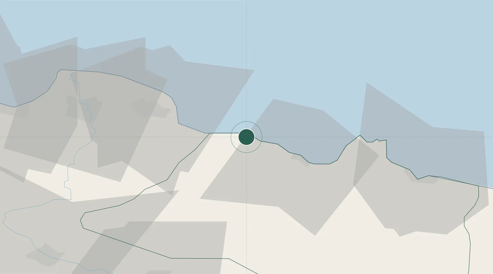
Nearby Logistics Neighbours

Cities
  1. 1Fatsa20 km
  2. 2Ordu52 km
  3. 3Samsun81 km
  4. 4Giresun95 km
  5. 5Gerze107 km
Nearest neighbours — logibook spatial index (haversine) over the source coordinates
Ports
  1. 1Ordu52 km
  2. 2Samsun80 km
  3. 3Giresun96 km
  4. 4Sinop203 km
  5. 5Trabzon209 km
Nearest neighbours — logibook spatial index (haversine) over the source coordinates
Airports
  1. 1Samsun-Çarşamba Airport61 km
  2. 2Ordu–Giresun Airport70 km
  3. 3Tokat Airport117 km
  4. 4Sivas Nuri Demirağ Airport150 km
  5. 5Amasya Merzifon Airport152 km
Nearest neighbours — logibook spatial index (haversine) over the source coordinates
Trade Zones
  1. 1Samsun Merkez Organized Industrial Zone71 km
  2. 2Samsun Free Zone82 km
  3. 3Tokat Merkez Organized Industrial Zone112 km
  4. 4Sivas Merkez I.Organized Industrial Zone150 km
  5. 5Amasya Merzifon Organized Industrial Zone156 km
Nearest neighbours — logibook spatial index (haversine) over the source coordinates
DatabookThe Record of Consolidated Knowledge
Türkiye beyond logistics?
Browse databook

All Sources

LocationsUN/LOCODE
UN/LOCODE — free
Portsthe NGA World Port Index
Public domain (US gov)
AirportsOurAirports
Public domain
Trade Zonesthe World Bank SEZ database
CC BY 4.0
Trade ZonesOpen Zone Map
CC BY
← Türkiye locations