Transport Functions
Port
Road
Hub Profile
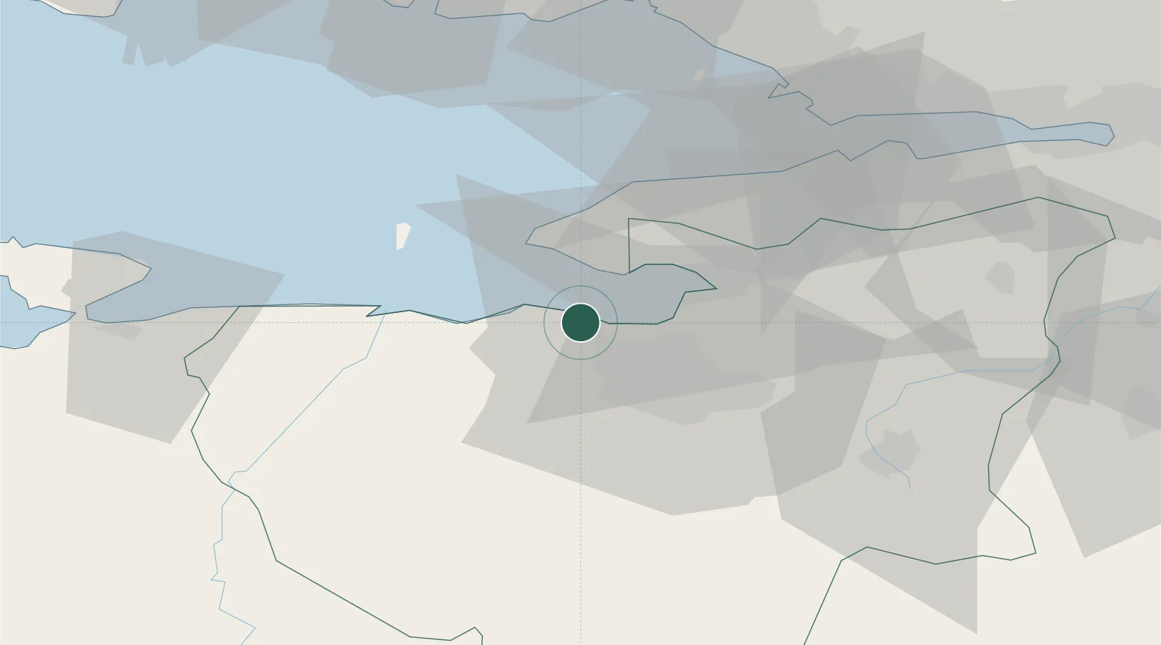
Place type
Provincial seat
Region
Bursa Province
Population
23,161
Time zone
Europe/Istanbul
Elevation
1 m
Location
Nearby Logistics Neighbours
DatabookThe Record of Consolidated Knowledge
Türkiye beyond logistics?