Free Trade Zone · Türkiye

Bursa Free Zone Active
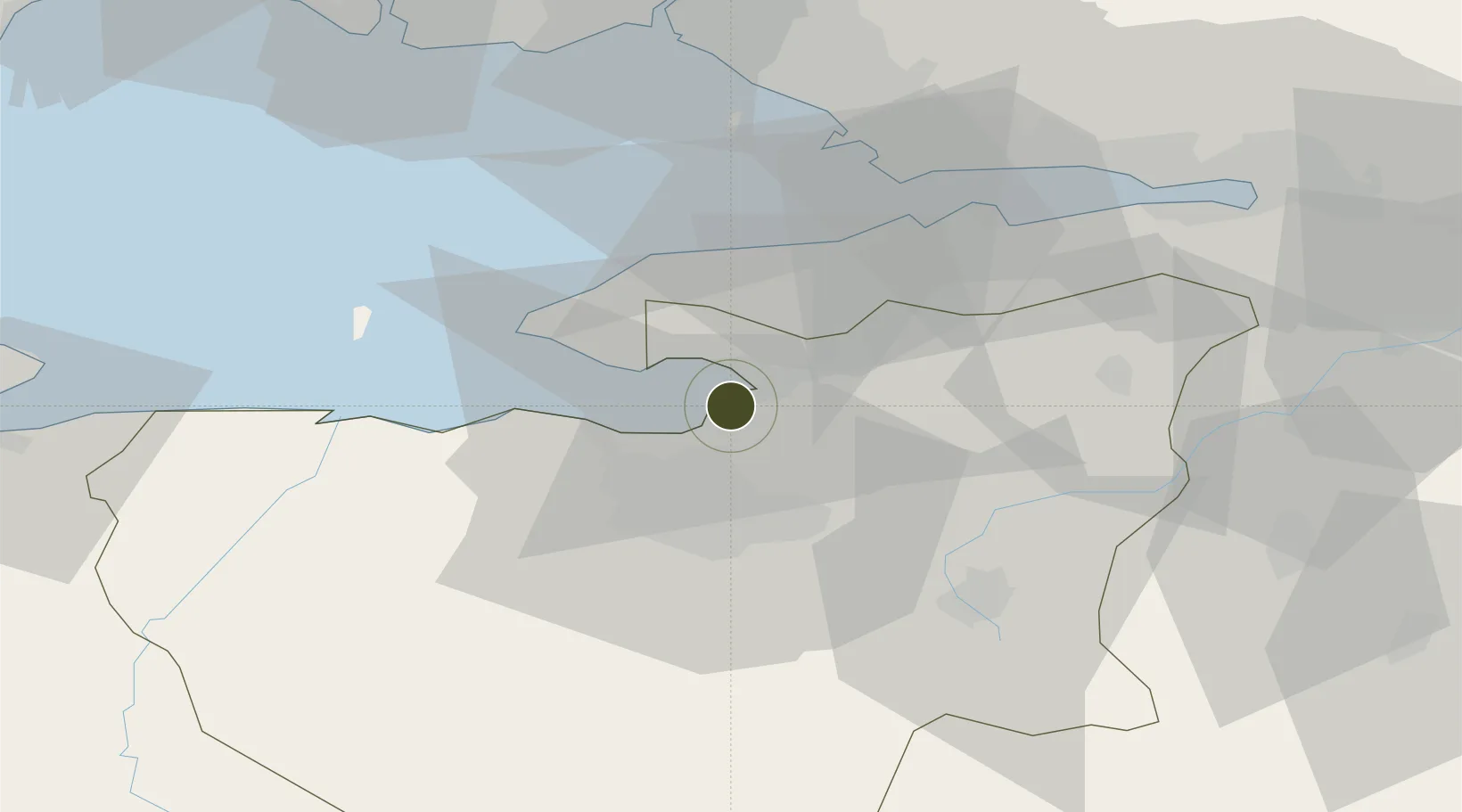
40.4069°, 29.1119°
334 ha
Zone area
1.2 km
Nearest port
41.8 km
Nearest airport

Gateway access

Nearest neighbours — logibook spatial index (haversine) over the source coordinates

Zone profile

Zone type
Free Trade Zone
the World Bank SEZ database
Region
Bursa
the World Bank SEZ database
Status
Active
the World Bank SEZ database
Established
2001
the World Bank SEZ database
Management
PPP
the World Bank SEZ database
Operator
Bursa Free Zone
the World Bank SEZ database
Regulatory authority
Undersecretariat for Foreign Trade
the World Bank SEZ database
Legal framework
Free Trade Zones Act
the World Bank SEZ database

Location

Location of TUR4
Natural Earth 10m (public domain) · Bursa · TUR4 · 40.41, 29.11GoogleOSMYandex

Fiscal & incentives

Corporate tax
20%
the World Bank SEZ database
Tax relief
100% exempt
the World Bank SEZ database
Relief duration
Perpetual
the World Bank SEZ database
VAT
100% exempt from VAT on utility charges
the World Bank SEZ database
Import duty (inputs)
100% exempt
the World Bank SEZ database
Import duty (capex)
100% exempt
the World Bank SEZ database
Profit repatriation
No exemption
the World Bank SEZ database
Capital gains
No exemption
the World Bank SEZ database
Withholding tax
100% exempt from personal income tax for companies that export 85%
the World Bank SEZ database
Min. investment
None
the World Bank SEZ database
Min. export
0%
the World Bank SEZ database
Employment incentive
No exemption
the World Bank SEZ database
Developer incentive
Yes
the World Bank SEZ database

Nearby Logistics Neighbours

Ports
  1. 1Gemlik1 km
  2. 2Mudanya20 km
  3. 3Gebze55 km
  4. 4Yarimca66 km
  5. 5Haydarpasa66 km
Nearest neighbours — logibook spatial index (haversine) over the source coordinates
Airports
  1. 1Bursa Yenişehir Airport42 km
  2. 2Istanbul Sabiha Gökçen International Airport57 km
  3. 3İstanbul Samandıra Army Air Base66 km
  4. 4İstanbul Atatürk Airport67 km
  5. 5Cengiz Topel Airport90 km
Nearest neighbours — logibook spatial index (haversine) over the source coordinates
Cities
  1. 1Gemlik3 km
  2. 2Mudanya20 km
  3. 3Yalova30 km
  4. 4Altinova45 km
  5. 5Tuzla51 km
Nearest neighbours — logibook spatial index (haversine) over the source coordinates
Trade Zones
  1. 1Demirtas Organized Industrial Zone16 km
  2. 2Bursa Organized Industrial Zone23 km
  3. 3Nilufer Organized Industrial Zone24 km
  4. 4Bursa Ihtisas Deri Organized Industrial Zone41 km
  5. 5Inegol Organized Industrial Zone47 km
Nearest neighbours — logibook spatial index (haversine) over the source coordinates
DatabookThe Record of Consolidated Knowledge
Türkiye beyond logistics?
Browse databook

All Sources

Trade Zonesthe World Bank SEZ database
CC BY 4.0
Portsthe NGA World Port Index
Public domain (US gov)
AirportsOurAirports
Public domain
LocationsUN/LOCODE
UN/LOCODE — free
← Türkiye trade zones