UN/LOCODE hub · Türkiye
TRGEM
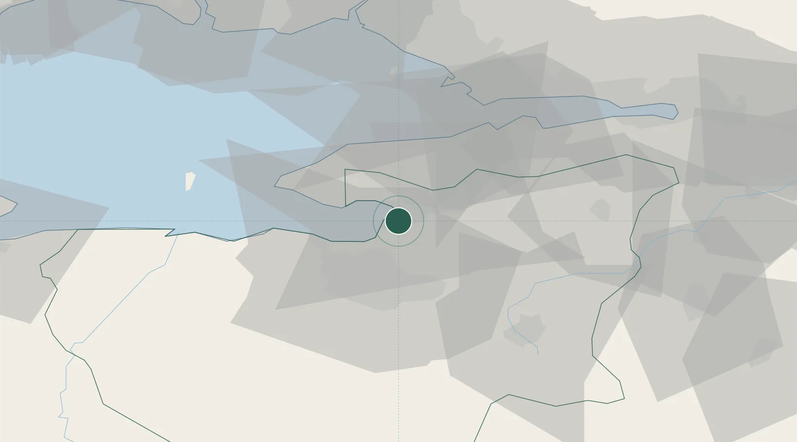
Gemlik
40.4234°, 29.1325°
71,063
Population
1
Transport functions
3
Container terminals
Transport Functions
Port
Hub Profile
Place type
Provincial seat
Region
Bursa Province
Population
71,063
Time zone
Europe/Istanbul
Elevation
5 m
Logistics facilities
7
Container terminals
3
Location
Nearby Logistics Neighbours
DatabookThe Record of Consolidated Knowledge
Türkiye beyond logistics?