Transport Functions
Port
Hub Profile
Place type
Populated place
Region
Antalya
Population
7,800
Time zone
Europe/Istanbul
Elevation
22 m
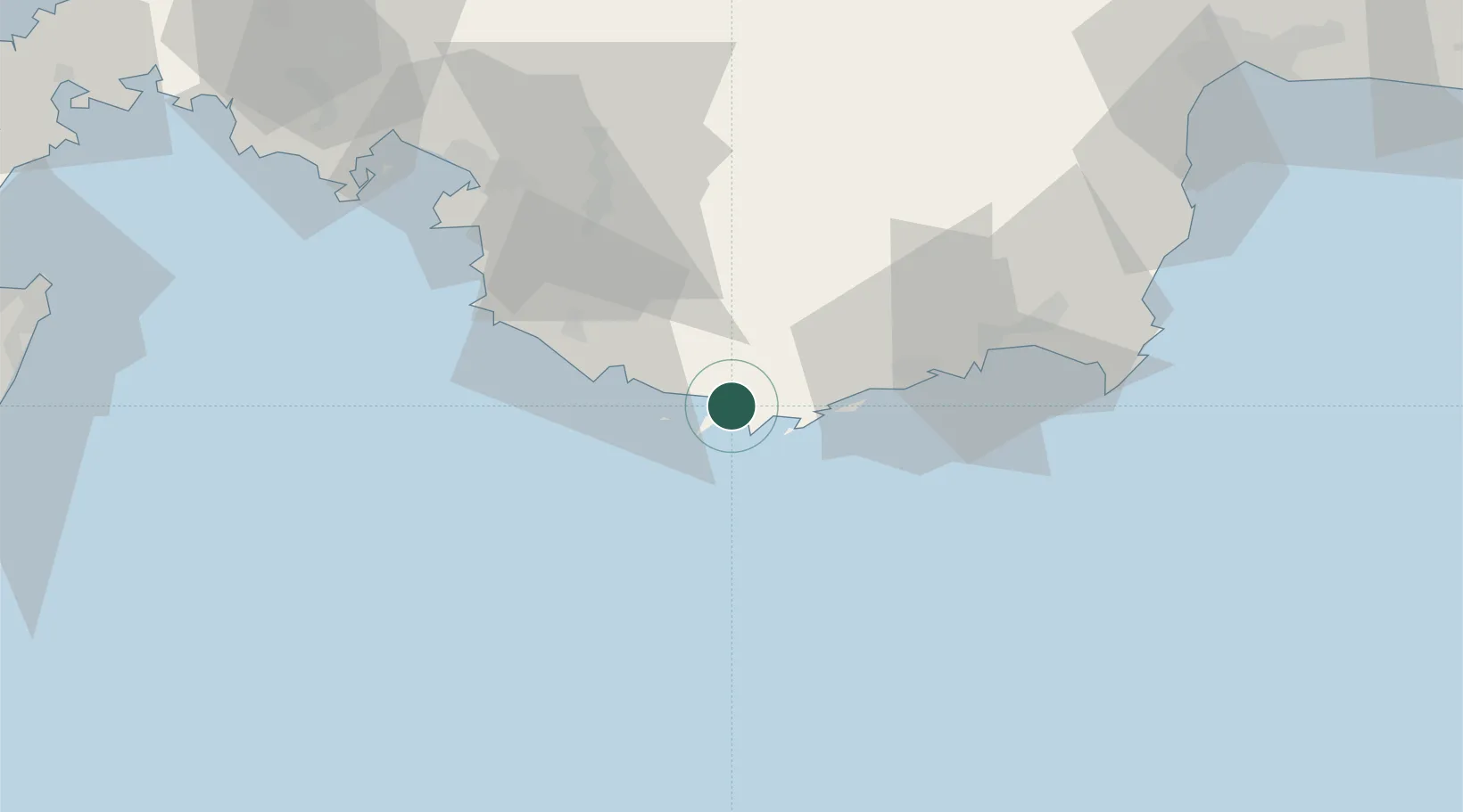
Location
Nearby Logistics Neighbours
Cities
- 1Kastellorizou (ex Megísti)5 km
- 2Finike46 km
- 3Fethiye68 km
- 4Gocek89 km
- 5Kemer93 km
Ports
- 1Fethiye69 km
- 2Antalya Offshore Terminal112 km
- 3Antalya114 km
- 4Rodhos129 km
- 5Marmaris142 km
Airports
Trade Zones
- 1Antalya Free Zone114 km
- 2Antalya Organized Industrial Zone133 km
- 3Denizli Free Zone180 km
- 4Usak Deri (Karma) Organized Industrial Zone272 km
- 5Tire Organized Industrial Zone275 km
DatabookThe Record of Consolidated Knowledge
Türkiye beyond logistics?