Transport Functions
Port
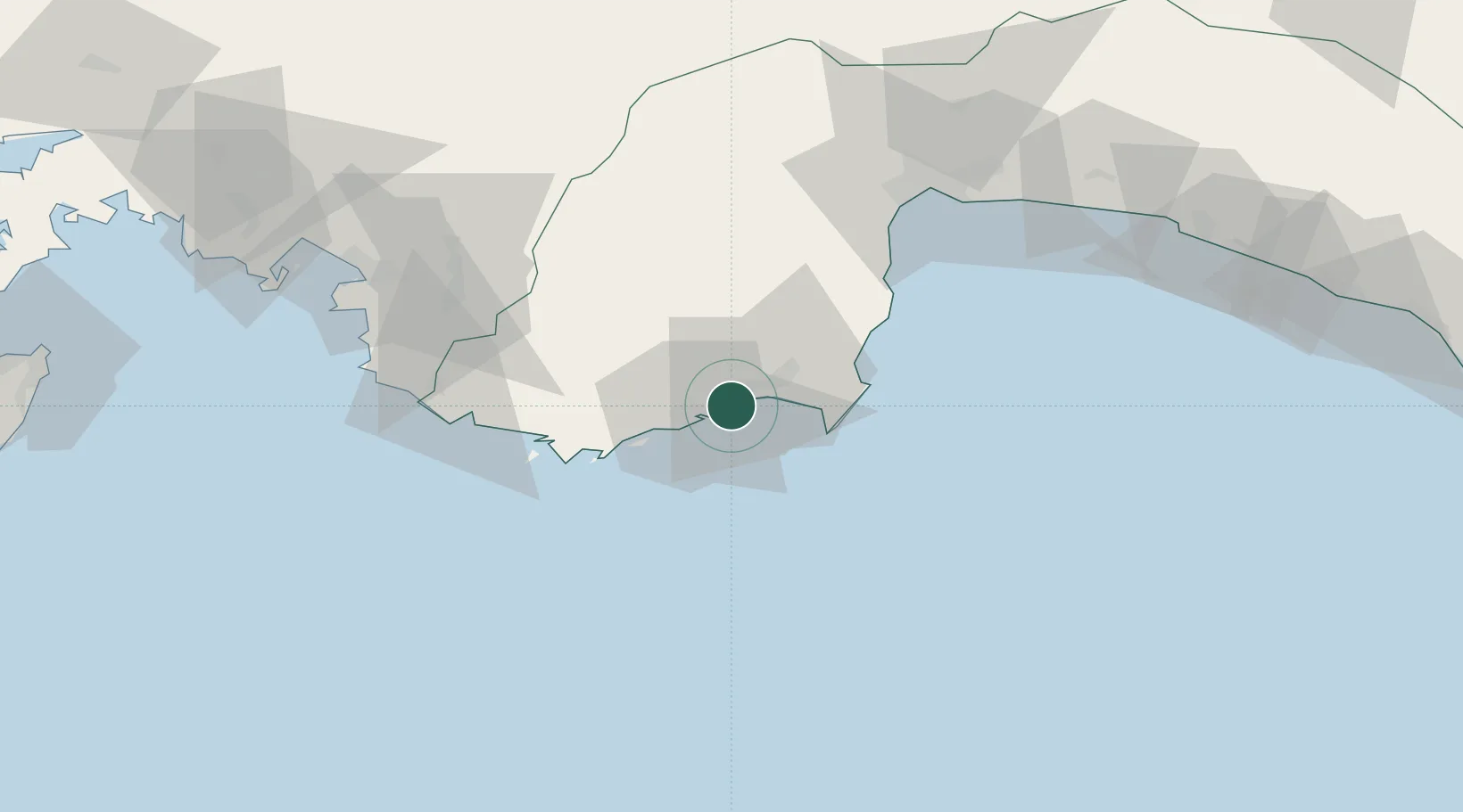
Hub Profile
Place type
Provincial seat
Region
Antalya
Population
9,250
Time zone
Europe/Istanbul
Elevation
48 m
Location
Nearby Logistics Neighbours
Cities
- 1Kas46 km
- 2Kemer50 km
- 3Kastellorizou (ex Megísti)50 km
- 4Antalya Free Zone74 km
- 5Antalya75 km
Ports
- 1Antalya Offshore Terminal73 km
- 2Antalya75 km
- 3Fethiye100 km
- 4Alanya169 km
- 5Rodhos171 km
Airports
- 1Kastelorizo Airport52 km
- 2Antalya International Airport91 km
- 3Dalaman International Airport129 km
- 4Çardak Airport171 km
- 5Süleyman Demirel International Airport176 km
Trade Zones
DatabookThe Record of Consolidated Knowledge
Türkiye beyond logistics?