Transport Functions
Port
Road
Hub Profile
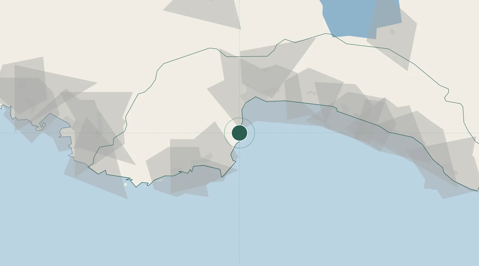
Place type
Populated place
Region
Antalya
Population
17,300
Time zone
Europe/Istanbul
Elevation
24 m
Location
Nearby Logistics Neighbours
Cities
- 1Antalya Free Zone28 km
- 2Antalya29 km
- 3Dosemealti48 km
- 4Finike50 km
- 5Manavgat83 km
Ports
- 1Antalya Offshore Terminal26 km
- 2Antalya28 km
- 3Fethiye130 km
- 4Alanya130 km
- 5Marmaris204 km
Airports
- 1Antalya International Airport42 km
- 2Kastelorizo Airport100 km
- 3Süleyman Demirel International Airport142 km
- 4Çardak Airport153 km
- 5Dalaman International Airport158 km
Trade Zones
DatabookThe Record of Consolidated Knowledge
Türkiye beyond logistics?