Transport Functions
Port
Hub Profile
Place type
Provincial seat
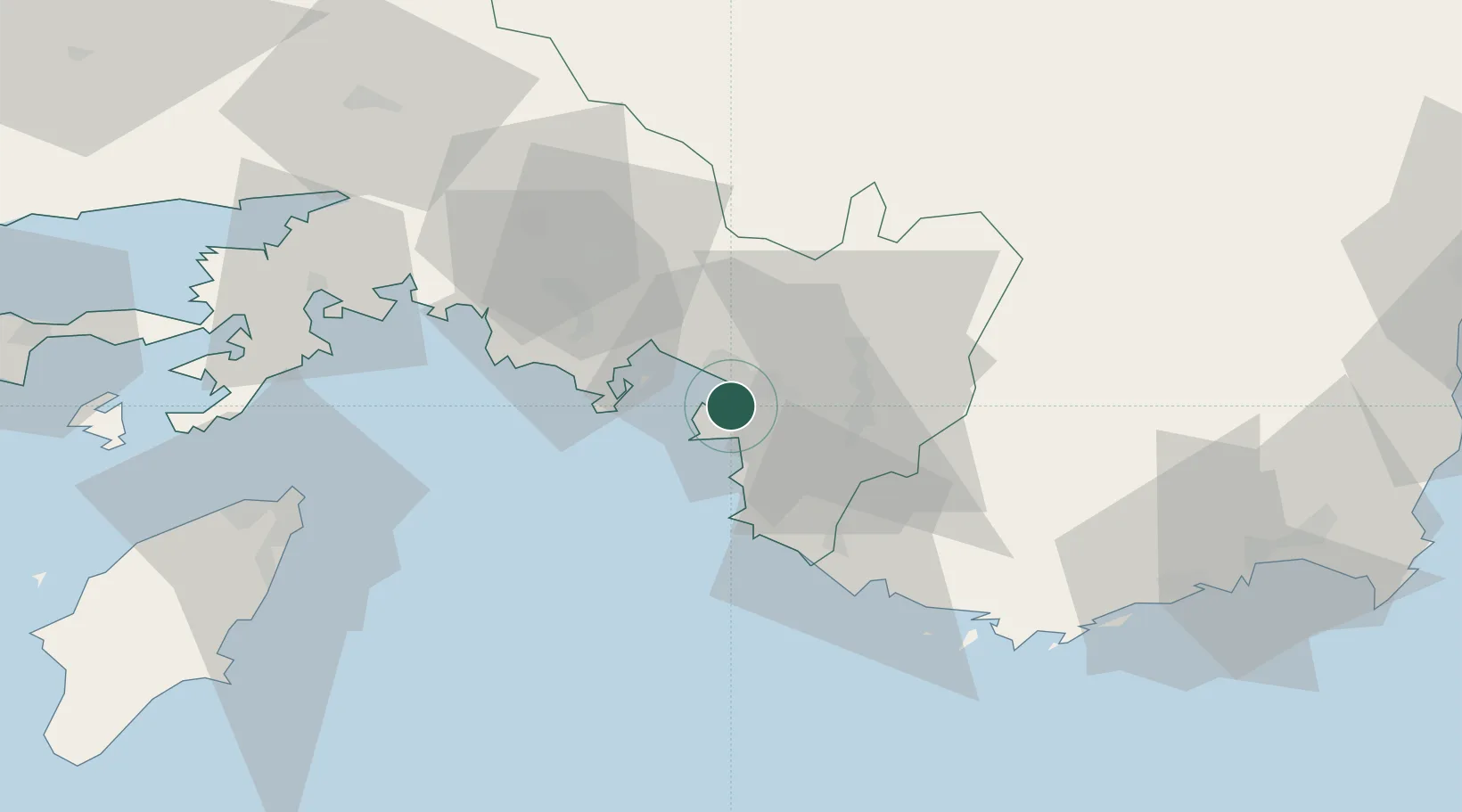
Region
Muğla
Population
60,437
Time zone
Europe/Istanbul
Elevation
9 m
Location
Nearby Logistics Neighbours
Cities
- 1Gocek21 km
- 2Kas68 km
- 3Kastellorizou (ex Megísti)69 km
- 4Marmaris79 km
- 5Akçapinar79 km
Ports
- 1Marmaris77 km
- 2Rodhos80 km
- 3Antalya Offshore Terminal136 km
- 4Antalya137 km
- 5Gulluk150 km
Airports
Trade Zones
- 1Antalya Free Zone137 km
- 2Denizli Free Zone141 km
- 3Antalya Organized Industrial Zone144 km
- 4Tire Organized Industrial Zone208 km
- 5Salihli Organized Industrial Zone221 km
DatabookThe Record of Consolidated Knowledge
Türkiye beyond logistics?