Large airport · Greece

Rhodes International Airport "Diagoras"LGRP
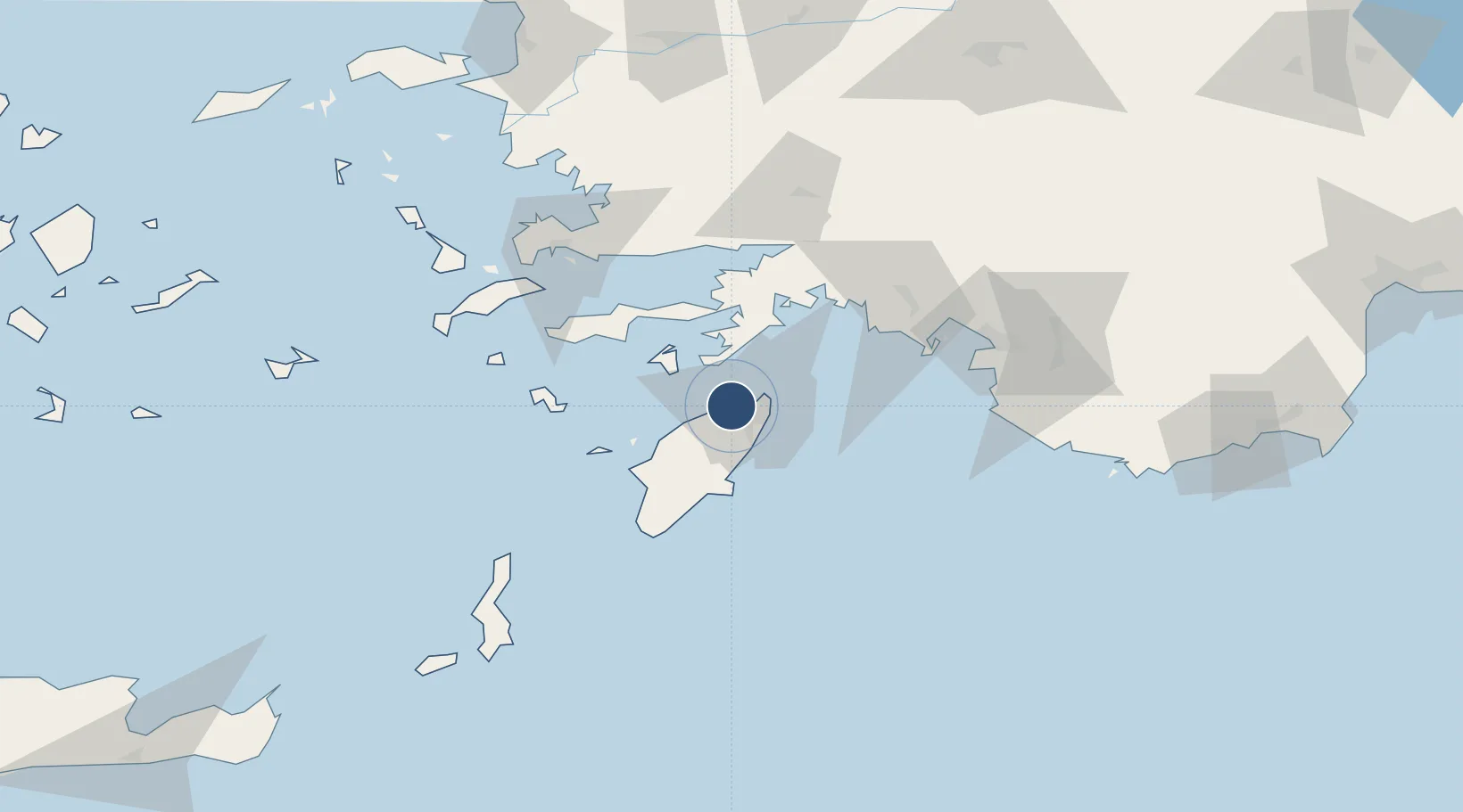
36.4054°, 28.0862°
10,846 ft
Longest runway
1
Runways
17 ft
Elevation

Runway & Layout

Rhodes International Airport "Diagoras" runway & taxiway layout
Runway & taxiway layout — OpenStreetMap (ODbL) / OurAirports

Radio Frequencies

ATIS
126.35 MHz
TWR
118.2 MHz
GND
121.7 MHz
APP
118.25 MHz
RODOS APP
A/G
563.7 MHz
RDO
OurAirports

Navaids

PAR VOR-DME Paradisi 108.60 MHz
RDS VOR-DME Rodos 115.80 MHz
ROD TACAN Rodos 117.40 MHz
ROS NDB Rodos 339 kHz
OurAirports

Runways · 1

RunwayDimensions SurfaceTrue headingLit
06/24 10,846 × 148ft Asphalt 070°
OurAirports

Airport Specifications

IATA code
RHO
OurAirports
ICAO code
LGRP
OurAirports
Airport class
Large airport
OurAirports
Scheduled service
Yes
OurAirports
Runway surface
Asphalt
OurAirports
Served city
Rhodes
OurAirports

Location

Location of LGRP
Natural Earth 10m (public domain) · Notio Aigaio · LGRP · 36.41, 28.09GoogleOSMYandex

Nearby Logistics Neighbours

Airports
  1. 1Dalaman International Airport72 km
  2. 2Kos International Airport "Ippokratis"99 km
  3. 3Milas Bodrum International Airport101 km
  4. 4Kalymnos Airport120 km
  5. 5Kastelorizo Airport137 km
Nearest neighbours — logibook spatial index (haversine) over the source coordinates
Cities
  1. 1Soroni9 km
  2. 2Kamiros Skala29 km
  3. 3Symi31 km
  4. 4Kalathos Rodou32 km
  5. 5Lindos Rodou34 km
Nearest neighbours — logibook spatial index (haversine) over the source coordinates
Ports
  1. 1Rodhos14 km
  2. 2Marmaris53 km
  3. 3Limin Kos90 km
  4. 4Bodrum91 km
  5. 5Fethiye94 km
Nearest neighbours — logibook spatial index (haversine) over the source coordinates
Trade Zones
  1. 1Tire Organized Industrial Zone194 km
  2. 2Denizli Free Zone209 km
  3. 3Antalya Free Zone230 km
  4. 4Aegean Free Zone231 km
  5. 5Salihli Organized Industrial Zone235 km
Nearest neighbours — logibook spatial index (haversine) over the source coordinates
DatabookThe Record of Consolidated Knowledge
Greece beyond logistics?
Browse databook

All Sources

AirportsOurAirports
Public domain
Portsthe NGA World Port Index
Public domain (US gov)
LocationsUN/LOCODE
UN/LOCODE — free
Trade Zonesthe World Bank SEZ database
CC BY 4.0
Trade ZonesOpen Zone Map
CC BY
InfrastructureOpenStreetMap
ODbL 1.0
← Greece airports