Channel & Berth Profile
Pilotage, Tugs & Services
Pilotage compulsoryYES
Pilotage availableYES
Pilotage advisableYES
Tug assistanceYES
Potable waterYES
Diesel bunkersYES
MedicalYES
Garbage disposalYES
Facilities & Capabilities
Container—
Ro-Ro—
Liquid bulk—
Dry bulk—
Oil terminal—
Break bulk—
Dry dock—
RepairsNO
BunkeringYES
Rail link—
Dangerous cargo—
ISPS security—
Harbour Specifications
Harbour size
Small
Harbour type
Coastal (Breakwater)
Shelter
Fair
Water body
Mediterranean Sea; North Atlantic Ocean
Pilotage
Yes
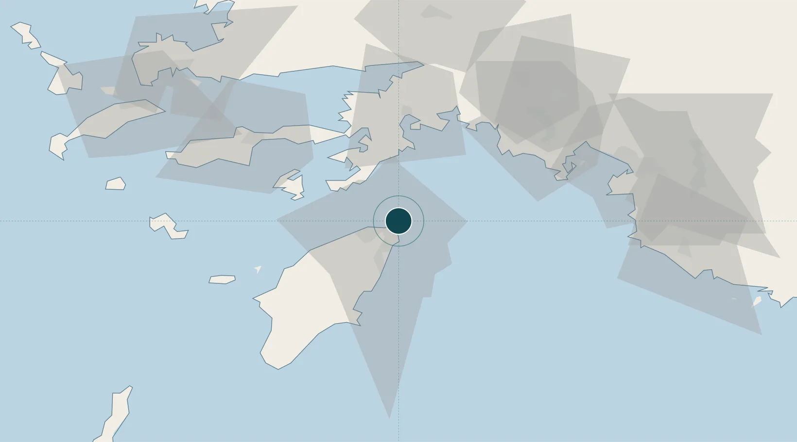
Location
Nearby Logistics Neighbours
Cities
- 1Soroni23 km
- 2Içmeler37 km
- 3Hisarönü38 km
- 4Symi39 km
- 5Kalathos Rodou40 km
Airports
Trade Zones
- 1Tire Organized Industrial Zone192 km
- 2Denizli Free Zone197 km
- 3Antalya Free Zone216 km
- 4Antalya Organized Industrial Zone224 km
- 5Salihli Organized Industrial Zone229 km
DatabookThe Record of Consolidated Knowledge
Greece beyond logistics?