UN/LOCODE hub · Greece
GRKAS

Kastellorizou (ex Megísti)

36.1500°, 29.6000°
1
Transport functions

Transport Functions

Port
UN/LOCODE

Hub Profile

Region
81
GeoNames

Location

Location of GRKAS
Natural Earth 10m (public domain) · 81 · GRKAS · 36.15, 29.60GoogleOSMYandex

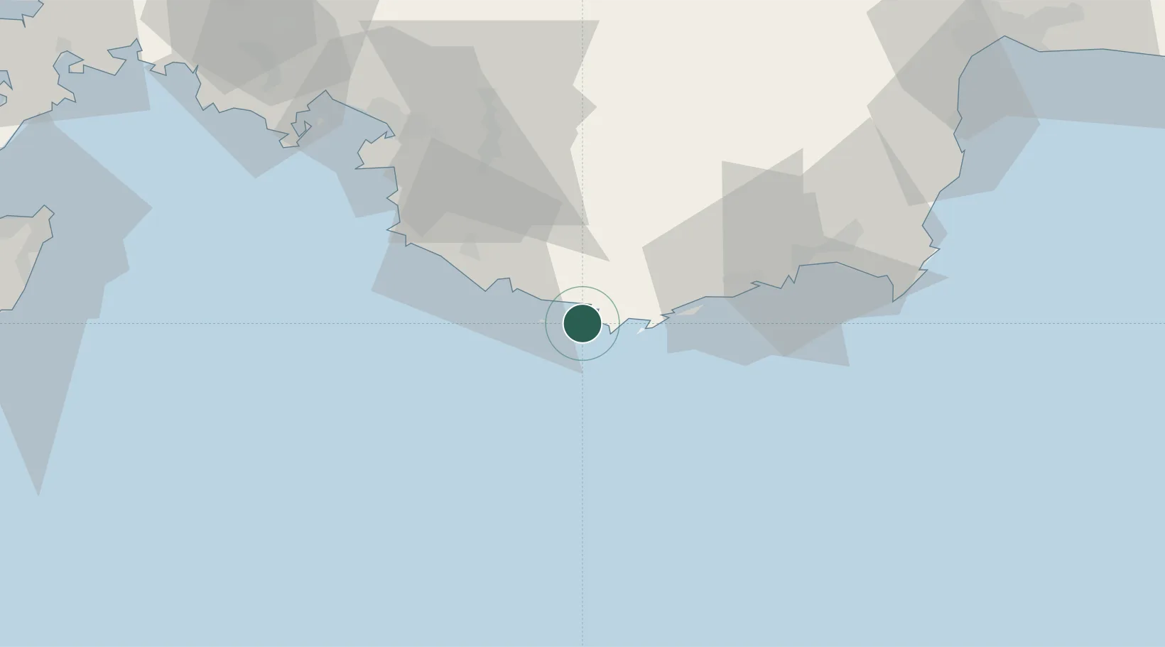
Nearby Logistics Neighbours

Cities
  1. 1Kas5 km
  2. 2Finike50 km
  3. 3Fethiye69 km
  4. 4Gocek90 km
  5. 5Kemer98 km
Nearest neighbours — logibook spatial index (haversine) over the source coordinates
Ports
  1. 1Fethiye70 km
  2. 2Antalya Offshore Terminal116 km
  3. 3Antalya119 km
  4. 4Rodhos127 km
  5. 5Marmaris141 km
Nearest neighbours — logibook spatial index (haversine) over the source coordinates
Airports
  1. 1Kastelorizo Airport2 km
  2. 2Dalaman International Airport96 km
  3. 3Antalya International Airport136 km
  4. 4Rhodes International Airport "Diagoras"139 km
  5. 5Çardak Airport182 km
Nearest neighbours — logibook spatial index (haversine) over the source coordinates
Trade Zones
  1. 1Antalya Free Zone118 km
  2. 2Antalya Organized Industrial Zone138 km
  3. 3Denizli Free Zone184 km
  4. 4Usak Deri (Karma) Organized Industrial Zone275 km
  5. 5Tire Organized Industrial Zone276 km
Nearest neighbours — logibook spatial index (haversine) over the source coordinates
DatabookThe Record of Consolidated Knowledge
Greece beyond logistics?
Browse databook

All Sources

LocationsUN/LOCODE
UN/LOCODE — free
Portsthe NGA World Port Index
Public domain (US gov)
AirportsOurAirports
Public domain
Trade Zonesthe World Bank SEZ database
CC BY 4.0
Trade ZonesOpen Zone Map
CC BY
← Greece locations