Transport Functions
Multimodal
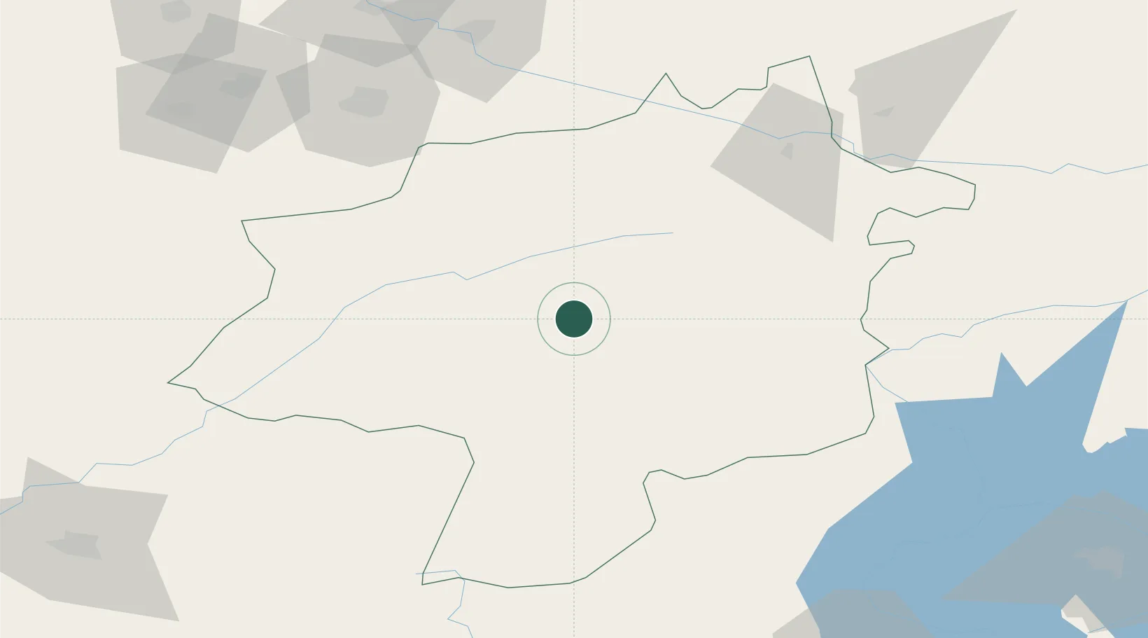
Hub Profile
Place type
Populated place
Region
Sivas
Time zone
Europe/Istanbul
Elevation
1,425 m
Location
Nearby Logistics Neighbours
Ports
- 1Ordu167 km
- 2Giresun178 km
- 3Samsun209 km
- 4Trabzon264 km
- 5Toros Gubre317 km
Airports
- 1Sivas Nuri Demirağ Airport44 km
- 2Tokat Airport115 km
- 3Malatya Erhaç Airport143 km
- 4Malatya Tulga Airport158 km
- 5Ordu–Giresun Airport169 km
Trade Zones
DatabookThe Record of Consolidated Knowledge
Türkiye beyond logistics?