Medium airport · Türkiye

Malatya Erhaç AirportLTAT
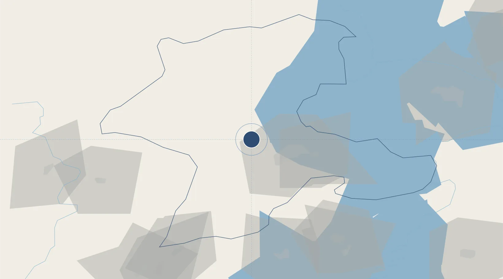
38.4353°, 38.0910°
10,990 ft
Longest runway
1
Runways
2,828 ft
Elevation

Runway & Layout

Malatya Erhaç Airport runway & taxiway layout
Runway & taxiway layout — OpenStreetMap (ODbL) / OurAirports

Radio Frequencies

ATIS
128.35 MHz
TWR
122.1 MHz
GND
121.95 MHz
APP
122.1 MHz
OurAirports

Navaids

ERH VOR Malatya 112.00 MHz
ERH TACAN Erhac 113.50 MHz
ERH NDB Erhac 421 kHz
OurAirports

Runways · 1

RunwayDimensions SurfaceTrue headingLit
03/21 10,990 × 148ft Asphalt 031°
OurAirports

Airport Specifications

IATA code
MLX
OurAirports
ICAO code
LTAT
OurAirports
Airport class
Medium airport
OurAirports
Scheduled service
Yes
OurAirports
Runway surface
Asphalt
OurAirports
Served city
Malatya
OurAirports

Location

Location of LTAT
Natural Earth 10m (public domain) · Malatya · LTAT · 38.44, 38.09GoogleOSMYandex

Nearby Logistics Neighbours

Airports
  1. 1Malatya Tulga Airport17 km
  2. 2Adıyaman Airport85 km
  3. 3Elazığ Airport105 km
  4. 4Şanlıurfa GAP Airport131 km
  5. 5Kahramanmaraş Airport141 km
Nearest neighbours — logibook spatial index (haversine) over the source coordinates
Cities
  1. 1Yesilyurt21 km
  2. 2Elbistan83 km
  3. 3Armutlu143 km
  4. 4Cemberlitas145 km
  5. 5Nizip162 km
Nearest neighbours — logibook spatial index (haversine) over the source coordinates
Ports
  1. 1Toros Gubre252 km
  2. 2Yakacik255 km
  3. 3Botas257 km
  4. 4Iskenderun265 km
  5. 5Giresun279 km
Nearest neighbours — logibook spatial index (haversine) over the source coordinates
Trade Zones
  1. 1Gaziantep Free Zone163 km
  2. 2Sivas Merkez I.Organized Industrial Zone174 km
  3. 3Kayseri Mimarsinan Organized Industrial Zone216 km
  4. 4Osmaniye Organized Industrial Zone236 km
  5. 5Kayseri Organized Industrial Zone239 km
Nearest neighbours — logibook spatial index (haversine) over the source coordinates
DatabookThe Record of Consolidated Knowledge
Türkiye beyond logistics?
Browse databook

All Sources

AirportsOurAirports
Public domain
Portsthe NGA World Port Index
Public domain (US gov)
LocationsUN/LOCODE
UN/LOCODE — free
Trade Zonesthe World Bank SEZ database
CC BY 4.0
Trade ZonesOpen Zone Map
CC BY
InfrastructureOpenStreetMap
ODbL 1.0
← Türkiye airports