Transport Functions
Multimodal
Hub Profile
Place type
Provincial seat
Region
Kahramanmaraş
Population
80,456
Time zone
Europe/Istanbul
Elevation
1,139 m
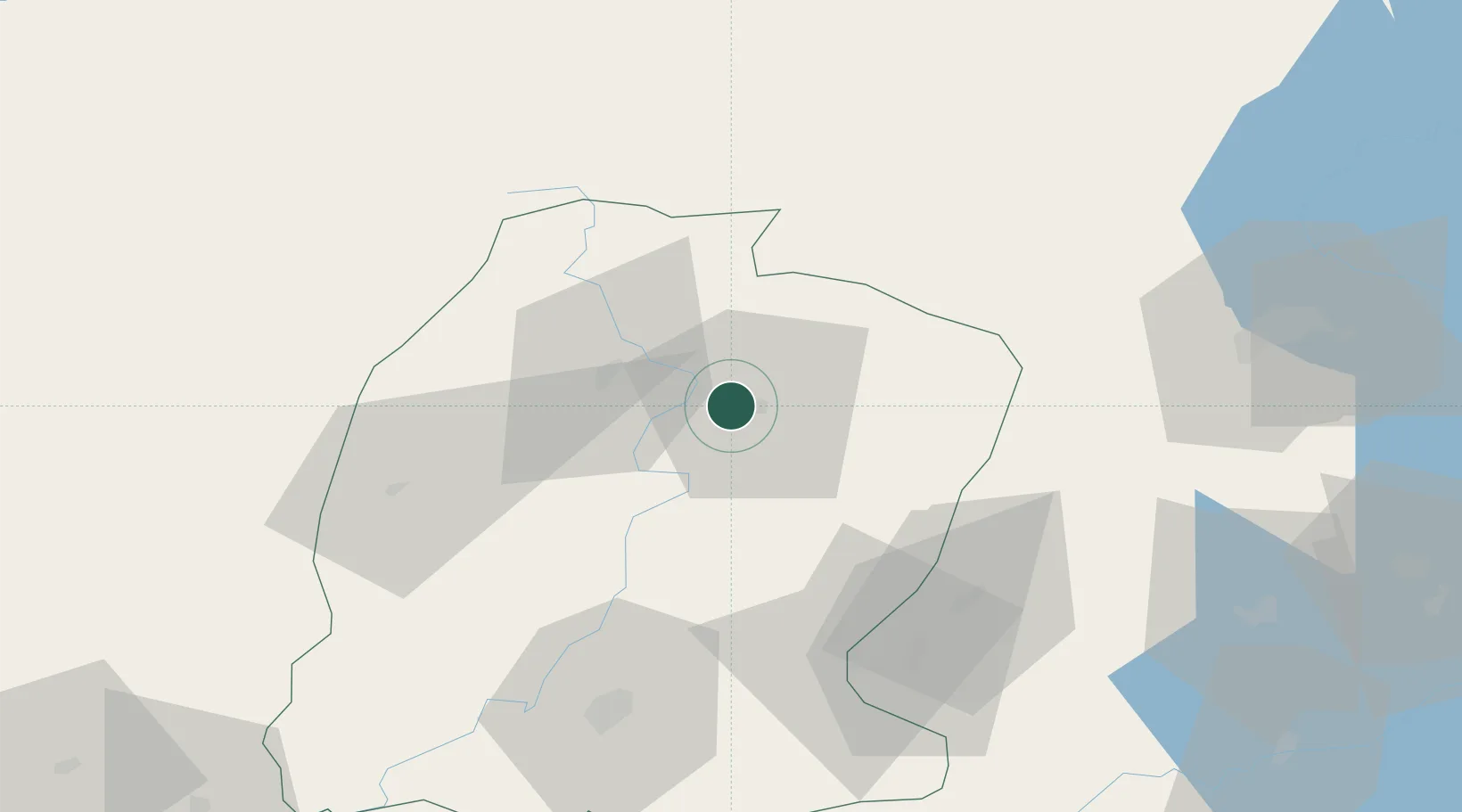
Location
Nearby Logistics Neighbours
Ports
- 1Toros Gubre179 km
- 2Botas183 km
- 3Yakacik187 km
- 4Iskenderun199 km
- 5Mersin274 km
Airports
- 1Kahramanmaraş Airport76 km
- 2Malatya Erhaç Airport83 km
- 3Malatya Tulga Airport95 km
- 4Adıyaman Airport124 km
- 5Gaziantep Oğuzeli International Airport142 km
Trade Zones
DatabookThe Record of Consolidated Knowledge
Türkiye beyond logistics?