Transport Functions
Multimodal
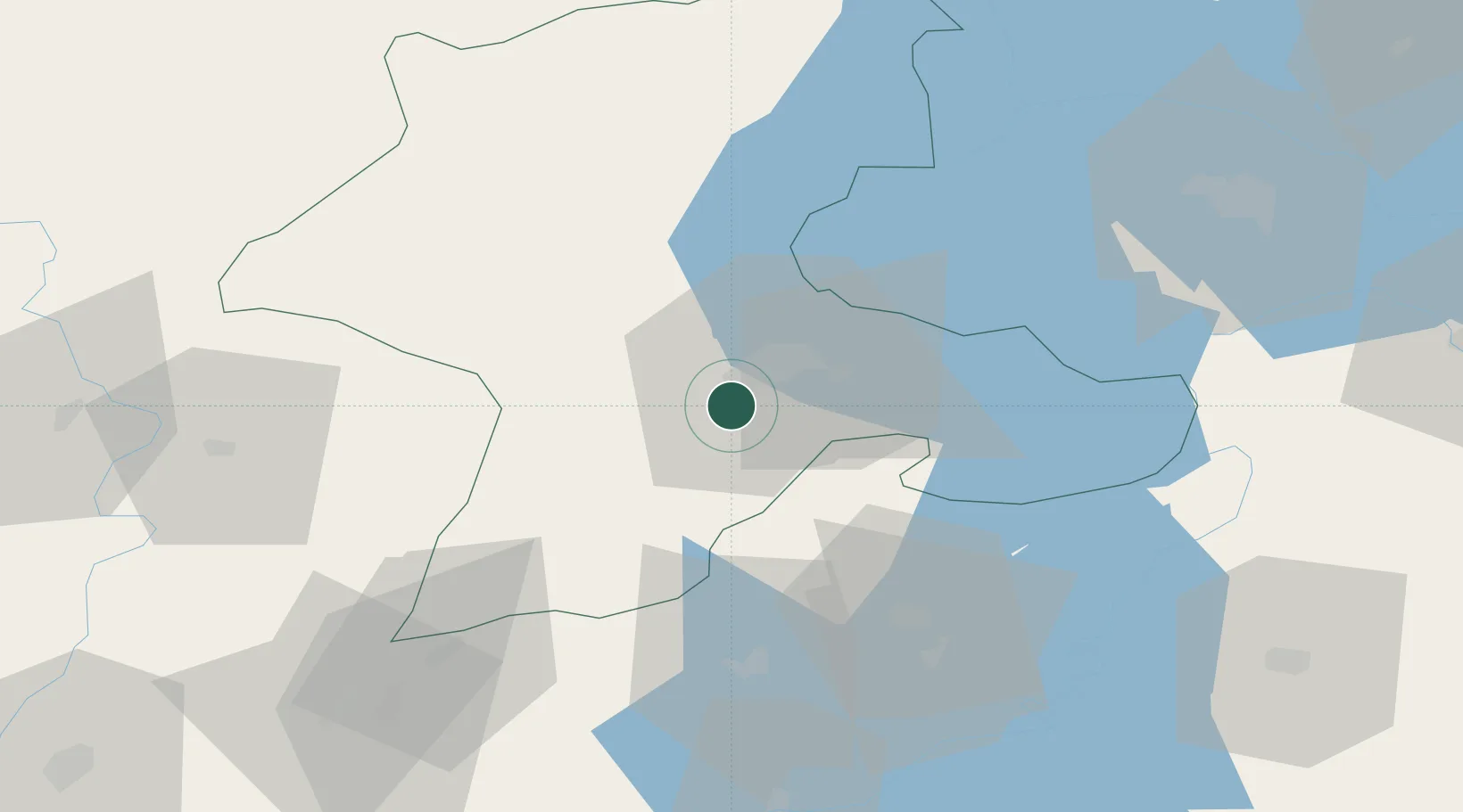
Hub Profile
Place type
District seat
Region
Malatya
Population
13,766
Time zone
Europe/Istanbul
Elevation
989 m
Location
Nearby Logistics Neighbours
Cities
- 1Elbistan92 km
- 2Nizip148 km
- 3Cemberlitas149 km
- 4Armutlu164 km
- 5Cakmak171 km
Ports
- 1Toros Gubre251 km
- 2Yakacik251 km
- 3Botas256 km
- 4Iskenderun261 km
- 5Giresun295 km
Airports
- 1Malatya Tulga Airport8 km
- 2Malatya Erhaç Airport21 km
- 3Adıyaman Airport65 km
- 4Elazığ Airport98 km
- 5Şanlıurfa GAP Airport110 km
Trade Zones
DatabookThe Record of Consolidated Knowledge
Türkiye beyond logistics?