Small airport · Türkiye

Malatya Tulga AirportLTAO
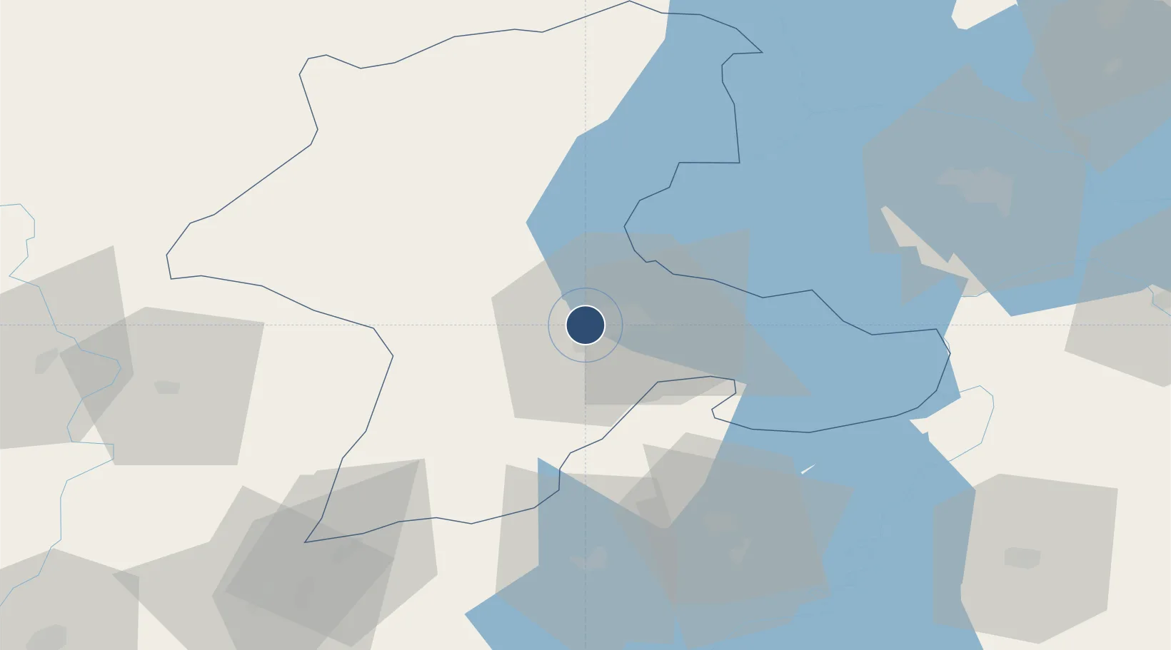
38.3537°, 38.2539°
7,874 ft
Longest runway
1
Runways
3,016 ft
Elevation

Runway & Layout

Malatya Tulga Airport runway & taxiway layout
Runway & taxiway layout — OpenStreetMap (ODbL) / OurAirports

Radio Frequencies

TWR
125.6 MHz
TWR
132 MHz
OurAirports

Runways · 1

RunwayDimensions SurfaceTrue headingLit
04/22 7,874 × 148ft Asphalt 047°
OurAirports

Airport Specifications

ICAO code
LTAO
OurAirports
Airport class
Small airport
OurAirports
Scheduled service
Yes
OurAirports
Runway surface
Asphalt
OurAirports
Served city
Malatya
OurAirports

Location

Location of LTAO
Natural Earth 10m (public domain) · Malatya · LTAO · 38.35, 38.25GoogleOSMYandex

Nearby Logistics Neighbours

Airports
  1. 1Malatya Erhaç Airport17 km
  2. 2Adıyaman Airport72 km
  3. 3Elazığ Airport94 km
  4. 4Şanlıurfa GAP Airport116 km
  5. 5Kahramanmaraş Airport146 km
Nearest neighbours — logibook spatial index (haversine) over the source coordinates
Cities
  1. 1Yesilyurt8 km
  2. 2Elbistan95 km
  3. 3Cemberlitas142 km
  4. 4Nizip156 km
  5. 5Armutlu158 km
Nearest neighbours — logibook spatial index (haversine) over the source coordinates
Ports
  1. 1Toros Gubre257 km
  2. 2Yakacik258 km
  3. 3Botas262 km
  4. 4Iskenderun268 km
  5. 5Giresun287 km
Nearest neighbours — logibook spatial index (haversine) over the source coordinates
Trade Zones
  1. 1Gaziantep Free Zone161 km
  2. 2Sivas Merkez I.Organized Industrial Zone189 km
  3. 3Kayseri Mimarsinan Organized Industrial Zone232 km
  4. 4Osmaniye Organized Industrial Zone241 km
  5. 5Mardin Free Zone243 km
Nearest neighbours — logibook spatial index (haversine) over the source coordinates
DatabookThe Record of Consolidated Knowledge
Türkiye beyond logistics?
Browse databook

All Sources

AirportsOurAirports
Public domain
Portsthe NGA World Port Index
Public domain (US gov)
LocationsUN/LOCODE
UN/LOCODE — free
Trade Zonesthe World Bank SEZ database
CC BY 4.0
Trade ZonesOpen Zone Map
CC BY
InfrastructureOpenStreetMap
ODbL 1.0
← Türkiye airports