Free Trade Zone · Türkiye

Kayseri Free Zone Active
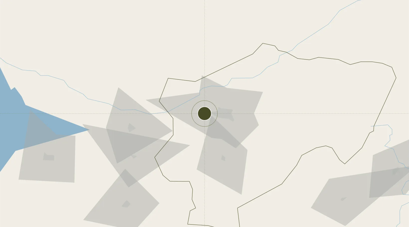
38.7452°, 35.3327°
691 ha
Zone area
210.8 km
Nearest port
14.4 km
Nearest airport

Gateway access

Nearest neighbours — logibook spatial index (haversine) over the source coordinates

Zone profile

Zone type
Free Trade Zone
the World Bank SEZ database
Region
Kayseri
the World Bank SEZ database
Status
Active
the World Bank SEZ database
Established
1998
the World Bank SEZ database
Management
Private management
the World Bank SEZ database
Operator
Kayser AS
the World Bank SEZ database
Regulatory authority
Undersecretariat for Foreign Trade
the World Bank SEZ database
Legal framework
Free Trade Zones Act
the World Bank SEZ database

Location

Location of TUR11
Natural Earth 10m (public domain) · Kayseri · TUR11 · 38.75, 35.33GoogleOSMYandex

Fiscal & incentives

Corporate tax
20%
the World Bank SEZ database
Tax relief
100% exempt
the World Bank SEZ database
Relief duration
Perpetual
the World Bank SEZ database
VAT
100% exempt from VAT on utility charges
the World Bank SEZ database
Import duty (inputs)
100% exempt
the World Bank SEZ database
Import duty (capex)
100% exempt
the World Bank SEZ database
Profit repatriation
No exemption
the World Bank SEZ database
Capital gains
No exemption
the World Bank SEZ database
Withholding tax
100% exempt from personal income tax for companies that export 85%
the World Bank SEZ database
Min. investment
None
the World Bank SEZ database
Min. export
0%
the World Bank SEZ database
Employment incentive
No exemption
the World Bank SEZ database
Developer incentive
Yes
the World Bank SEZ database

Nearby Logistics Neighbours

Ports
  1. 1Toros Gubre211 km
  2. 2Botas214 km
  3. 3Mersin225 km
  4. 4Yakacik238 km
  5. 5Iskenderun250 km
Nearest neighbours — logibook spatial index (haversine) over the source coordinates
Airports
  1. 1Kayseri Erkilet International Airport14 km
  2. 2Nevşehir Kapadokya Airport69 km
  3. 3Sivas Nuri Demirağ Airport180 km
  4. 4İncirlik Air Base194 km
  5. 5Kahramanmaraş Airport195 km
Nearest neighbours — logibook spatial index (haversine) over the source coordinates
Cities
  1. 1Kayseri7 km
  2. 2Pozanti153 km
  3. 3Kadirli167 km
  4. 4Elbistan172 km
  5. 5Armutlu193 km
Nearest neighbours — logibook spatial index (haversine) over the source coordinates
DatabookThe Record of Consolidated Knowledge
Türkiye beyond logistics?
Browse databook

All Sources

Trade Zonesthe World Bank SEZ database
CC BY 4.0
Portsthe NGA World Port Index
Public domain (US gov)
AirportsOurAirports
Public domain
LocationsUN/LOCODE
UN/LOCODE — free
← Türkiye trade zones