UN/LOCODE hub · Tunisia
TNSUS

Sousse

35.8078°, 10.6533°
221,715
Population
4
Transport functions

Transport Functions

Port
Rail
Road
Airport
Sousse is also a profiled seaport →
UN/LOCODE

Hub Profile

Place type
Regional capital
GeoNames
Region
Sousse Governorate
GeoNames
Population
221,715
GeoNames
Time zone
Africa/Tunis
GeoNames
Elevation
24 m
GeoNames
Logistics facilities
2
UN/LOCODE

Location

Location of TNSUS
Natural Earth 10m (public domain) · Sousse Governorate · TNSUS · 35.81, 10.65GoogleOSMYandex

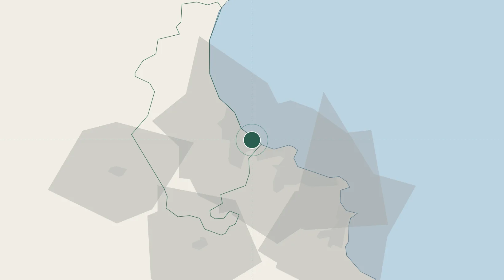
Nearby Logistics Neighbours

Cities
  1. 1Sahline8 km
  2. 2Ksibet el Médiouni23 km
  3. 3Bu Hajar24 km
  4. 4Bu Mirdas40 km
  5. 5Mahdia50 km
Nearest neighbours — logibook spatial index (haversine) over the source coordinates
Ports
  1. 1Mahdia51 km
  2. 2La Goulette115 km
  3. 3Tunis116 km
  4. 4Rades117 km
  5. 5Mersa Sfax120 km
Nearest neighbours — logibook spatial index (haversine) over the source coordinates
Airports
  1. 1Monastir Habib Bourguiba International Airport11 km
  2. 2Enfidha - Hammamet International Airport36 km
  3. 3Sfax Thyna International Airport121 km
  4. 4Tunis Carthage International Airport122 km
  5. 5Pantelleria Airport163 km
Nearest neighbours — logibook spatial index (haversine) over the source coordinates
Trade Zones
  1. 1Bizerte Park of Economic Activities177 km
  2. 2Zarzis Park of Economic Activities262 km
  3. 3Ben Guerdane Economic Free Zone308 km
  4. 4Zwara-Abu-Kemmash Free Trade Zone344 km
  5. 5Malta Freeport350 km
Nearest neighbours — logibook spatial index (haversine) over the source coordinates
DatabookThe Record of Consolidated Knowledge
Tunisia beyond logistics?
Browse databook

All Sources

LocationsUN/LOCODE
UN/LOCODE — free
LocationsGeoNames
CC BY 4.0
Portsthe NGA World Port Index
Public domain (US gov)
AirportsOurAirports
Public domain
Trade Zonesthe World Bank SEZ database
CC BY 4.0
Trade ZonesOpen Zone Map
CC BY
← Tunisia locations