Transport Functions
Multimodal
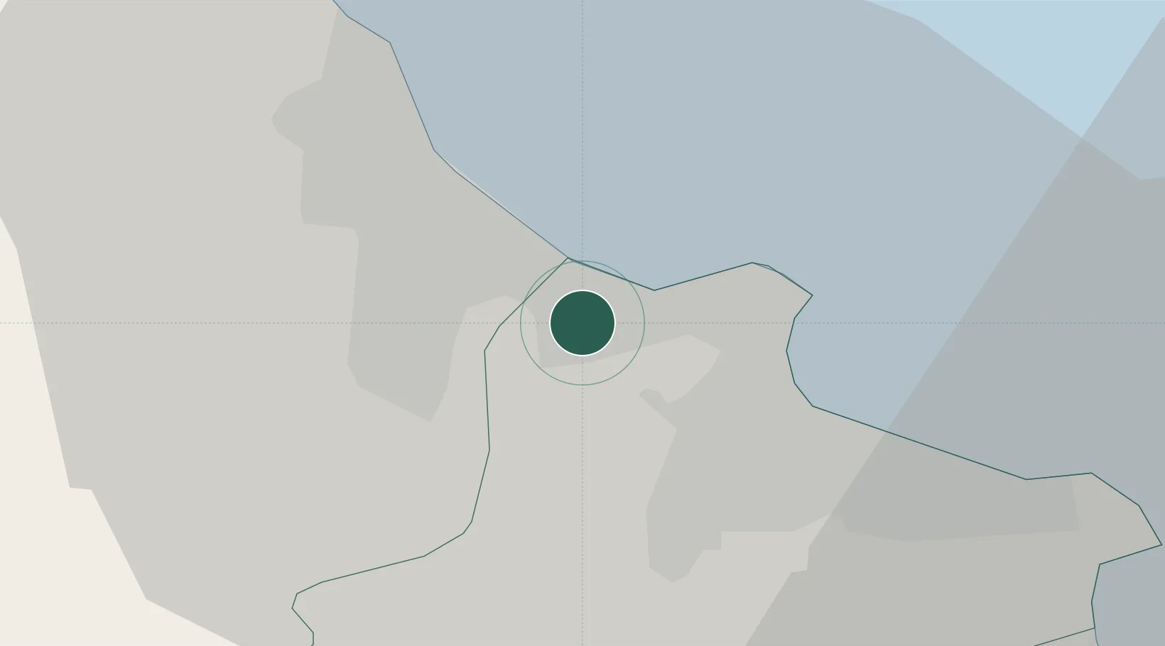
Hub Profile
Place type
Populated place
Region
Monastir Governorate
Population
13,806
Time zone
Africa/Tunis
Elevation
18 m
Location
Nearby Logistics Neighbours
Cities
- 1Sousse8 km
- 2Ksibet el Médiouni15 km
- 3Bu Hajar17 km
- 4Bu Mirdas34 km
- 5Mahdia42 km
Ports
- 1Sousse10 km
- 2Mahdia43 km
- 3Mersa Sfax113 km
- 4La Goulette122 km
- 5Tunis124 km
Airports
Trade Zones
DatabookThe Record of Consolidated Knowledge
Tunisia beyond logistics?