UN/LOCODE hub · Tunisia
TNKEM
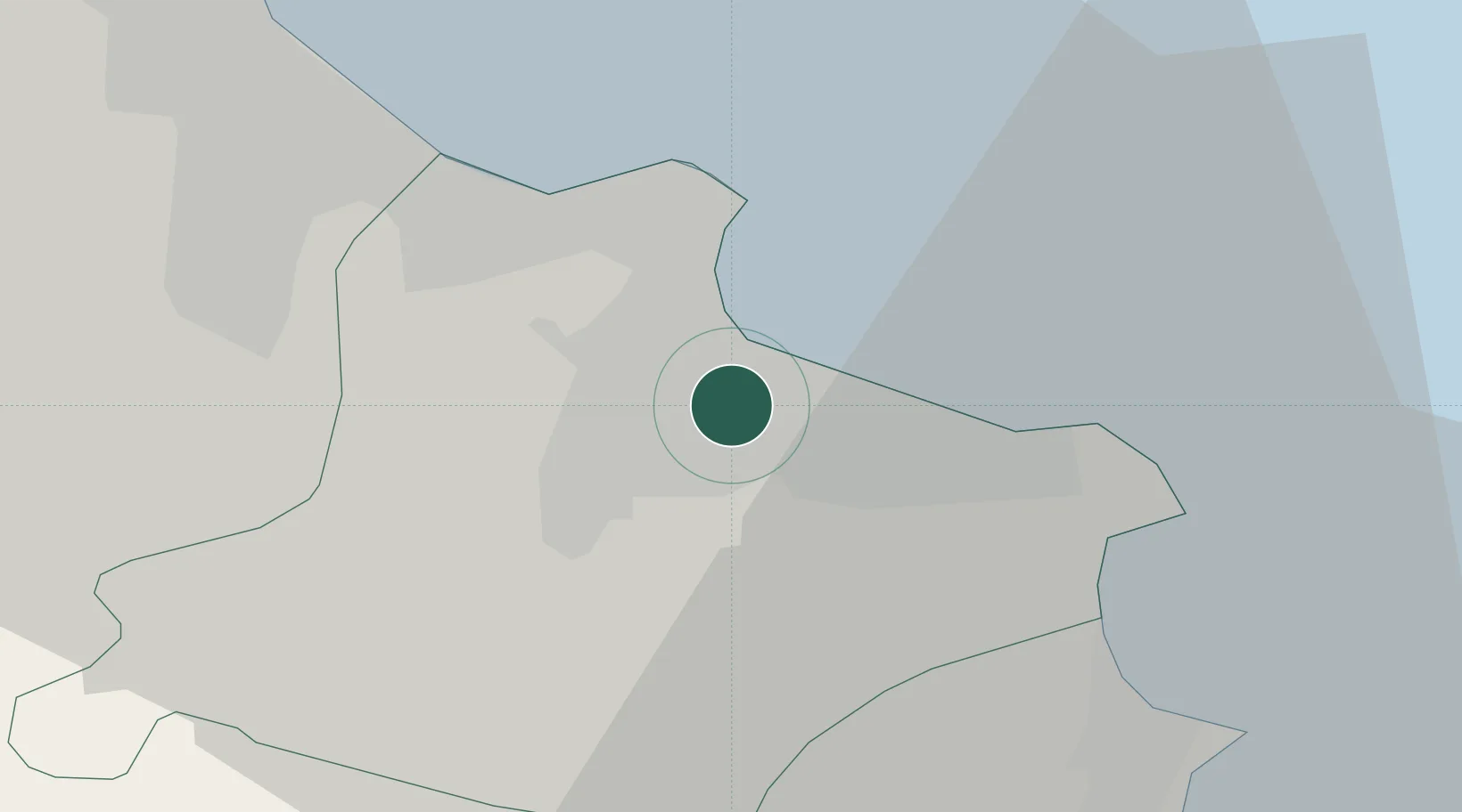
Ksibet el Médiouni
35.6667°, 10.8333°
13,122
Population
1
Transport functions
Transport Functions
Port
Hub Profile
Place type
Populated place
Region
Monastir Governorate
Population
13,122
Time zone
Africa/Tunis
Elevation
31 m
Location
Nearby Logistics Neighbours
Ports
- 1Sousse25 km
- 2Mahdia28 km
- 3Mersa Sfax104 km
- 4Tazerka Oil Terminal129 km
- 5La Goulette135 km
Airports
Trade Zones
DatabookThe Record of Consolidated Knowledge
Tunisia beyond logistics?