UN/LOCODE hub · Tunisia
TNBUH

Bu Hajar

35.6833°, 10.8667°
1
Transport functions

Transport Functions

Multimodal
UN/LOCODE

Hub Profile

Region
52
GeoNames

Location

Location of TNBUH
Natural Earth 10m (public domain) · 52 · TNBUH · 35.68, 10.87GoogleOSMYandex

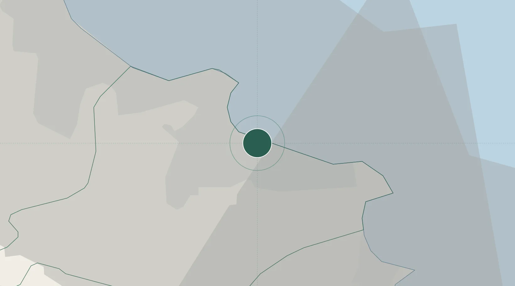
Nearby Logistics Neighbours

Cities
  1. 1Ksibet el Médiouni4 km
  2. 2Sahline17 km
  3. 3Sousse24 km
  4. 4Mahdia26 km
  5. 5Bu Mirdas29 km
Nearest neighbours — logibook spatial index (haversine) over the source coordinates
Ports
  1. 1Sousse26 km
  2. 2Mahdia27 km
  3. 3Mersa Sfax106 km
  4. 4Tazerka Oil Terminal126 km
  5. 5La Goulette134 km
Nearest neighbours — logibook spatial index (haversine) over the source coordinates
Airports
  1. 1Monastir Habib Bourguiba International Airport13 km
  2. 2Enfidha - Hammamet International Airport58 km
  3. 3Sfax Thyna International Airport109 km
  4. 4Tunis Carthage International Airport142 km
  5. 5Lampedusa Airport160 km
Nearest neighbours — logibook spatial index (haversine) over the source coordinates
Trade Zones
  1. 1Bizerte Park of Economic Activities198 km
  2. 2Zarzis Park of Economic Activities246 km
  3. 3Ben Guerdane Economic Free Zone290 km
  4. 4Zwara-Abu-Kemmash Free Trade Zone324 km
  5. 5Malta Freeport331 km
Nearest neighbours — logibook spatial index (haversine) over the source coordinates
DatabookThe Record of Consolidated Knowledge
Tunisia beyond logistics?
Browse databook

All Sources

LocationsUN/LOCODE
UN/LOCODE — free
Portsthe NGA World Port Index
Public domain (US gov)
AirportsOurAirports
Public domain
Trade Zonesthe World Bank SEZ database
CC BY 4.0
Trade ZonesOpen Zone Map
CC BY
← Tunisia locations