Transport Functions
Multimodal
Hub Profile
Region
13
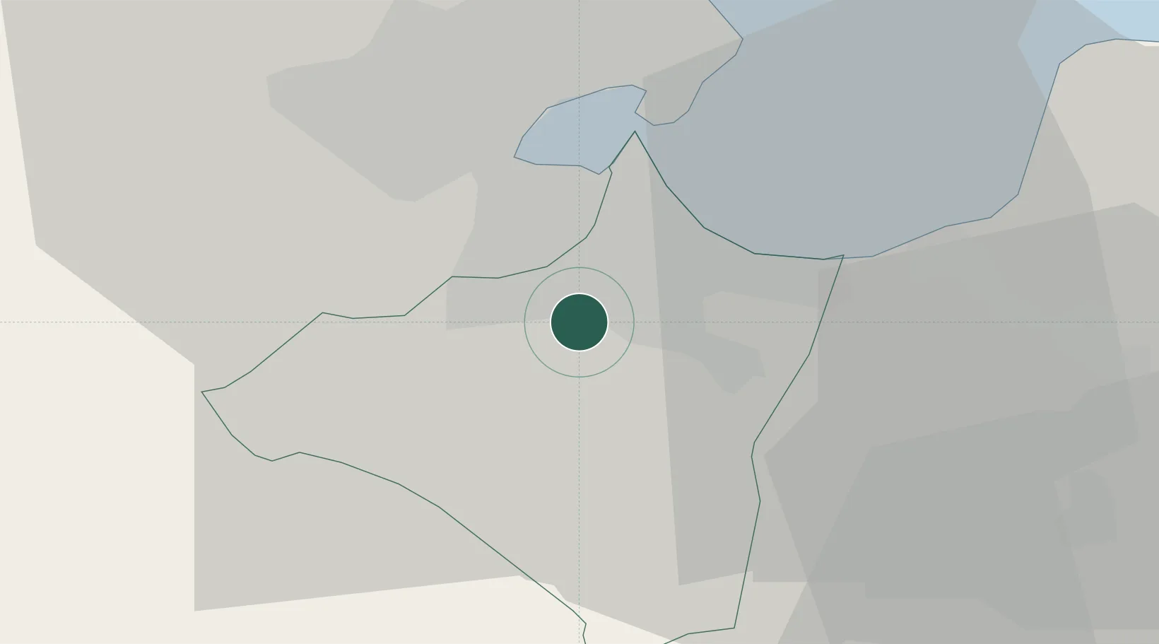
Location
Nearby Logistics Neighbours
Cities
- 1Boumhel7 km
- 2Tunis13 km
- 3Radès13 km
- 4Borj Cedria15 km
- 5Lafayette/Tunis16 km
Ports
- 1Tunis13 km
- 2La Goulette14 km
- 3Rades16 km
- 4Menzel Bourguiba65 km
- 5Banzart74 km
Airports
Trade Zones
DatabookThe Record of Consolidated Knowledge
Tunisia beyond logistics?