Transport Functions
Port
Road
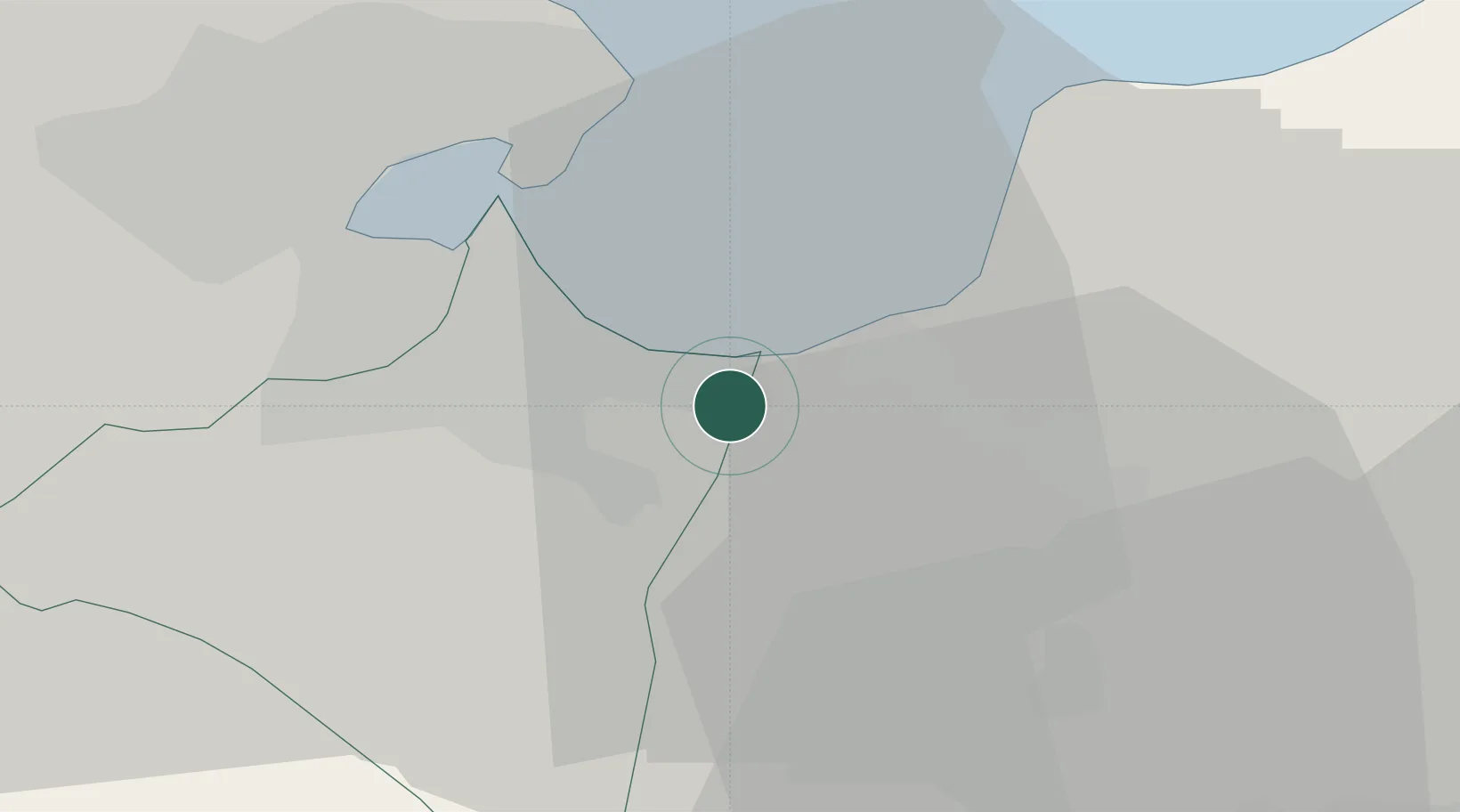
Hub Profile
Place type
Populated place
Region
Ben Arous Governorate
Population
31,858
Time zone
Africa/Tunis
Elevation
28 m
Location
Nearby Logistics Neighbours
Ports
- 1La Goulette14 km
- 2Rades16 km
- 3Tunis17 km
- 4Menzel Bourguiba73 km
- 5Banzart80 km
Airports
Trade Zones
DatabookThe Record of Consolidated Knowledge
Tunisia beyond logistics?