UN/LOCODE hub · Tunisia
TNARB

Zriba

36.3333°, 10.2500°
1
Transport functions

Transport Functions

Multimodal
UN/LOCODE

Location

Location of TNARB
Natural Earth 10m (public domain) · Zaghouan · TNARB · 36.33, 10.25GoogleOSMYandex

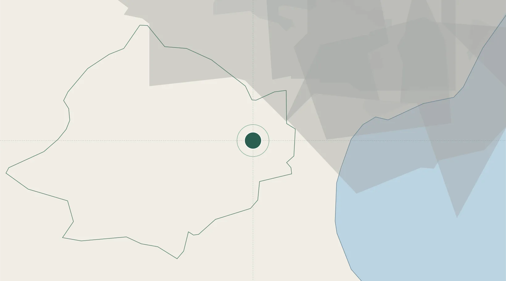
Nearby Logistics Neighbours

Cities
  1. 1Zaghouan12 km
  2. 2El Fahs32 km
  3. 3Al Hammamat34 km
  4. 4Grombalia37 km
  5. 5Naassen39 km
Nearest neighbours — logibook spatial index (haversine) over the source coordinates
Ports
  1. 1Tunis52 km
  2. 2La Goulette52 km
  3. 3Rades54 km
  4. 4Sousse66 km
  5. 5Menzel Bourguiba99 km
Nearest neighbours — logibook spatial index (haversine) over the source coordinates
Trade Zones
  1. 1Bizerte Park of Economic Activities109 km
  2. 2Zarzis Park of Economic Activities327 km
  3. 3Free Zone of Portovesme356 km
  4. 4Ben Guerdane Economic Free Zone374 km
  5. 5Sicily Special Economic Zone Area383 km
Nearest neighbours — logibook spatial index (haversine) over the source coordinates
DatabookThe Record of Consolidated Knowledge
Tunisia beyond logistics?
Browse databook

All Sources

LocationsUN/LOCODE
UN/LOCODE — free
Portsthe NGA World Port Index
Public domain (US gov)
AirportsOurAirports
Public domain
Trade Zonesthe World Bank SEZ database
CC BY 4.0
Trade ZonesOpen Zone Map
CC BY
← Tunisia locations