UN/LOCODE hub · Tunisia
TNHMM

Al Hammamat

36.4000°, 10.6167°
4
Transport functions

Transport Functions

Port
Rail
Road
Multimodal
UN/LOCODE

Location

Location of TNHMM
Natural Earth 10m (public domain) · Nabeul · TNHMM · 36.40, 10.62GoogleOSMYandex

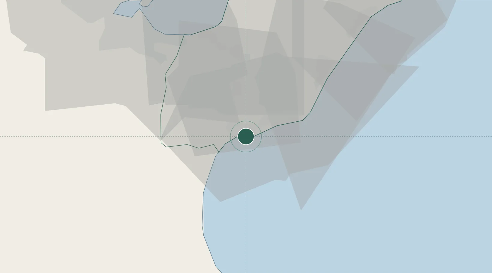
Nearby Logistics Neighbours

Cities
  1. 1Dar Chabanne14 km
  2. 2Grombalia25 km
  3. 3Zriba34 km
  4. 4Soliman34 km
  5. 5Borj Cedria39 km
Nearest neighbours — logibook spatial index (haversine) over the source coordinates
Ports
  1. 1La Goulette53 km
  2. 2Rades54 km
  3. 3Tunis55 km
  4. 4Sousse63 km
  5. 5Tazerka Oil Terminal98 km
Nearest neighbours — logibook spatial index (haversine) over the source coordinates
Airports
  1. 1Enfidha - Hammamet International Airport39 km
  2. 2Tunis Carthage International Airport61 km
  3. 3Monastir Habib Bourguiba International Airport72 km
  4. 4Bizerte Sidi Ahmed Air Base119 km
  5. 5Pantelleria Airport129 km
Nearest neighbours — logibook spatial index (haversine) over the source coordinates
Trade Zones
  1. 1Bizerte Park of Economic Activities117 km
  2. 2Zarzis Park of Economic Activities328 km
  3. 3Sicily Special Economic Zone Area350 km
  4. 4Malta Freeport358 km
  5. 5Free Zone of Portovesme365 km
Nearest neighbours — logibook spatial index (haversine) over the source coordinates
DatabookThe Record of Consolidated Knowledge
Tunisia beyond logistics?
Browse databook

All Sources

LocationsUN/LOCODE
UN/LOCODE — free
Portsthe NGA World Port Index
Public domain (US gov)
AirportsOurAirports
Public domain
Trade Zonesthe World Bank SEZ database
CC BY 4.0
Trade ZonesOpen Zone Map
CC BY
← Tunisia locations