Transport Functions
Rail
Road
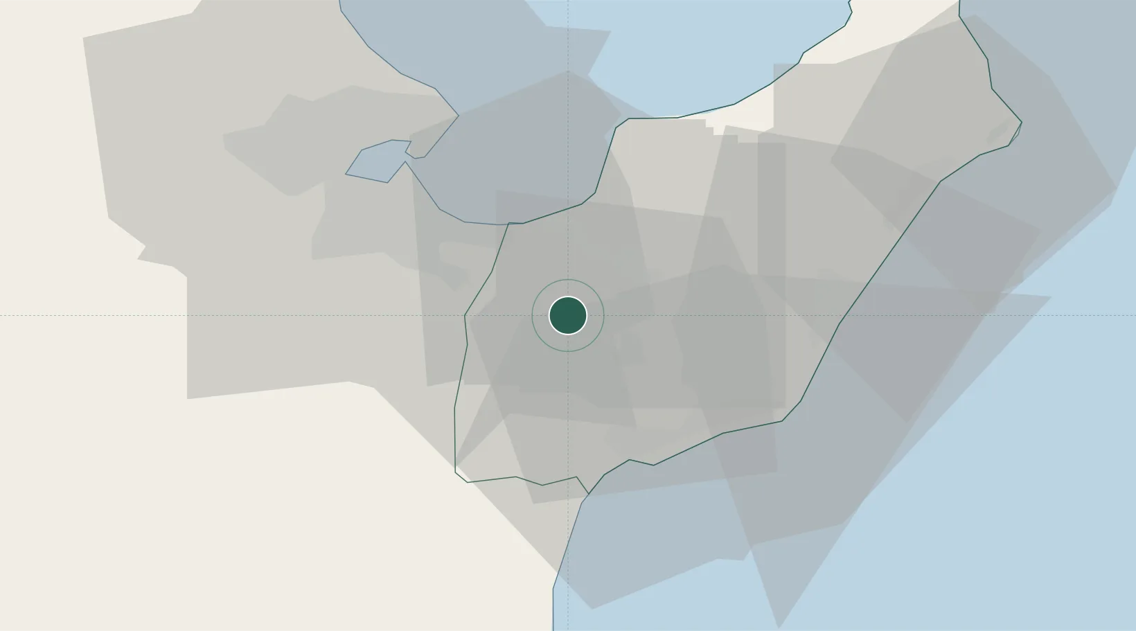
Hub Profile
Place type
Populated place
Region
Nabeul Governorate
Population
23,881
Time zone
Africa/Tunis
Elevation
50 m
Location
Nearby Logistics Neighbours
Cities
- 1Soliman9 km
- 2Borj Cedria14 km
- 3Boumhel22 km
- 4Al Hammamat25 km
- 5Naassen26 km
Ports
- 1La Goulette29 km
- 2Rades30 km
- 3Tunis32 km
- 4Sousse86 km
- 5Menzel Bourguiba87 km
Airports
Trade Zones
DatabookThe Record of Consolidated Knowledge
Tunisia beyond logistics?