Transport Functions
Road
Multimodal
Hub Profile
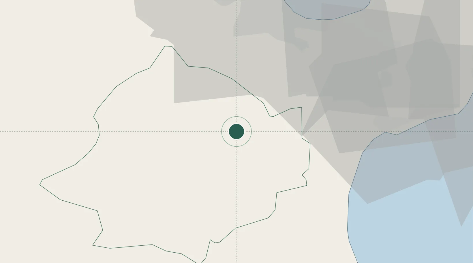
Place type
Regional capital
Region
Zaghouan Governorate
Population
20,798
Time zone
Africa/Tunis
Elevation
176 m
Location
Nearby Logistics Neighbours
DatabookThe Record of Consolidated Knowledge
Tunisia beyond logistics?