Transport Functions
Port
Hub Profile
Place type
Provincial seat
Region
Chon Buri
Time zone
Asia/Bangkok
Elevation
27 m
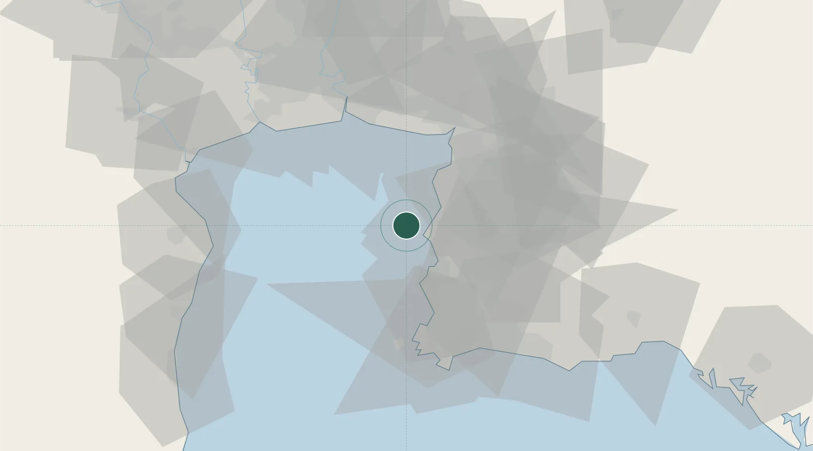
Location
Nearby Logistics Neighbours
Cities
- 1NH Prosperity6 km
- 2Si Racha8 km
- 3Chonburi12 km
- 4Laem Chabang14 km
- 5Pattaya23 km
Ports
- 1Siam Seaport7 km
- 2Laem Chabang9 km
- 3Si Racha Terminal11 km
- 4Sattahip59 km
- 5Map Ta Phut64 km
Airports
Trade Zones
DatabookThe Record of Consolidated Knowledge
Thailand beyond logistics?