UN/LOCODE hub · Thailand
THI6C

T S Transport and Logistics

13.6500°, 100.5667°
1
Transport functions

Transport Functions

Port
UN/LOCODE

Hub Profile

Region
11
GeoNames

Location

Location of THI6C
Natural Earth 10m (public domain) · 11 · THI6C · 13.65, 100.57GoogleOSMYandex

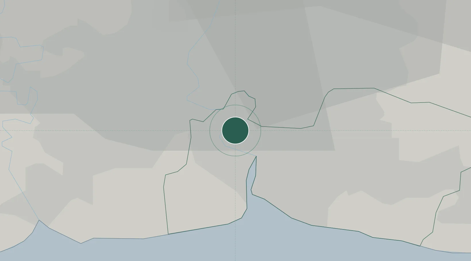
Nearby Logistics Neighbours

Cities
  1. 1Siam Bangkok Port1 km
  2. 2Actu-lum2 km
  3. 3Siamgas and Petrochemicals3 km
  4. 4Sahathai Coastal Seaport4 km
  5. 5Phra Pradaeng4 km
Nearest neighbours — logibook spatial index (haversine) over the source coordinates
Ports
  1. 1Bangkok13 km
  2. 2Ko Si Chang Terminal60 km
  3. 3Si Racha Terminal66 km
  4. 4Siam Seaport67 km
  5. 5Laem Chabang72 km
Nearest neighbours — logibook spatial index (haversine) over the source coordinates
Airports
  1. 1Suvarnabhumi Airport20 km
  2. 2Don Mueang International Airport30 km
  3. 3Kamphaeng Saen Airport86 km
  4. 4U-Tapao–Rayong–Pattaya International Airport118 km
  5. 5Hua Hin Airport131 km
Nearest neighbours — logibook spatial index (haversine) over the source coordinates
Trade Zones
  1. 1Bangplee Industrial Estate9 km
  2. 2V.R.M. Ratchaburi Industrial Estate9 km
  3. 3Asia Industrial Estate Map Ta Phut (Aiemtp)9 km
  4. 4Indra Industrial Park10 km
  5. 5Eastern Economic Corridor10 km
Nearest neighbours — logibook spatial index (haversine) over the source coordinates
DatabookThe Record of Consolidated Knowledge
Thailand beyond logistics?
Browse databook

All Sources

LocationsUN/LOCODE
UN/LOCODE — free
Portsthe NGA World Port Index
Public domain (US gov)
AirportsOurAirports
Public domain
Trade Zonesthe World Bank SEZ database
CC BY 4.0
Trade ZonesOpen Zone Map
CC BY
← Thailand locations