Transport Functions
Rail
Road
Hub Profile
Place type
Populated place
Region
Banská Bystrica Region
Time zone
Europe/Bratislava
Elevation
399 m
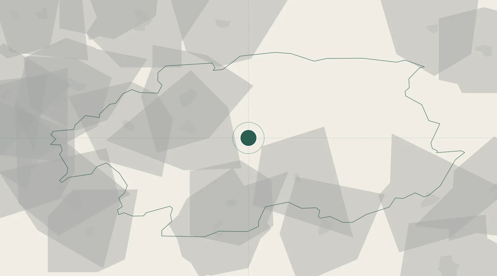
Location
Nearby Logistics Neighbours
Cities
- 1Zvolenská Slatina13 km
- 2Praha20 km
- 3Zvolen23 km
- 4Slovenská Lupca28 km
- 5Poltár29 km
Ports
- 1Bakar517 km
- 2Rijeka Luka520 km
- 3Omisalj523 km
- 4Senj524 km
- 5Trieste537 km
Airports
- 1Sliač Airport25 km
- 2Poprad-Tatry Airport84 km
- 3Žilina-Dolný Hričov Airport98 km
- 4Piešťany Airport119 km
- 5Budapest Liszt Ferenc International Airport123 km
Trade Zones
DatabookThe Record of Consolidated Knowledge
Slovakia beyond logistics?