Transport Functions
Rail
Road
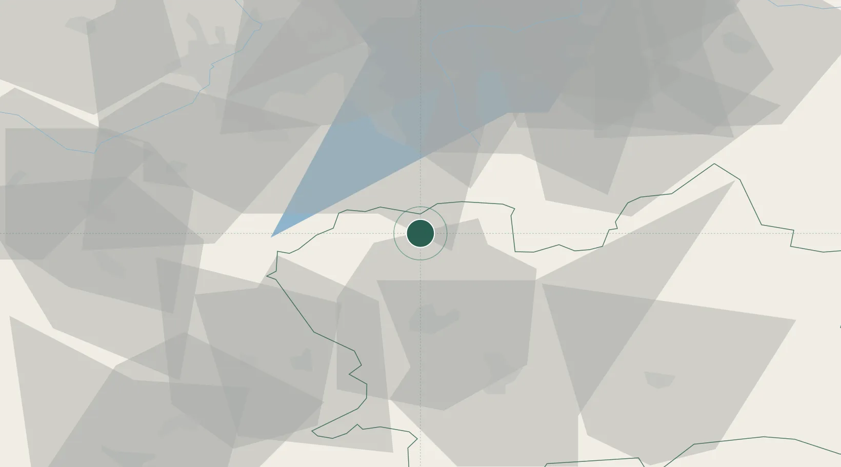
Hub Profile
Place type
Populated place
Region
Žilina Region
Population
5,626
Time zone
Europe/Bratislava
Elevation
427 m
Location
Nearby Logistics Neighbours
Cities
- 1Vel'Ke Rovne18 km
- 2Horný Hricov21 km
- 3Teplicka nad Vahom23 km
- 4Gbelany26 km
- 5Ostravice28 km
Airports
- 1Žilina-Dolný Hričov Airport24 km
- 2Leoš Janáček Airport Ostrava54 km
- 3Sliač Airport93 km
- 4Přerov Air Base96 km
- 5Kraków John Paul II International Airport104 km
Trade Zones
DatabookThe Record of Consolidated Knowledge
Slovakia beyond logistics?