Transport Functions
Multimodal
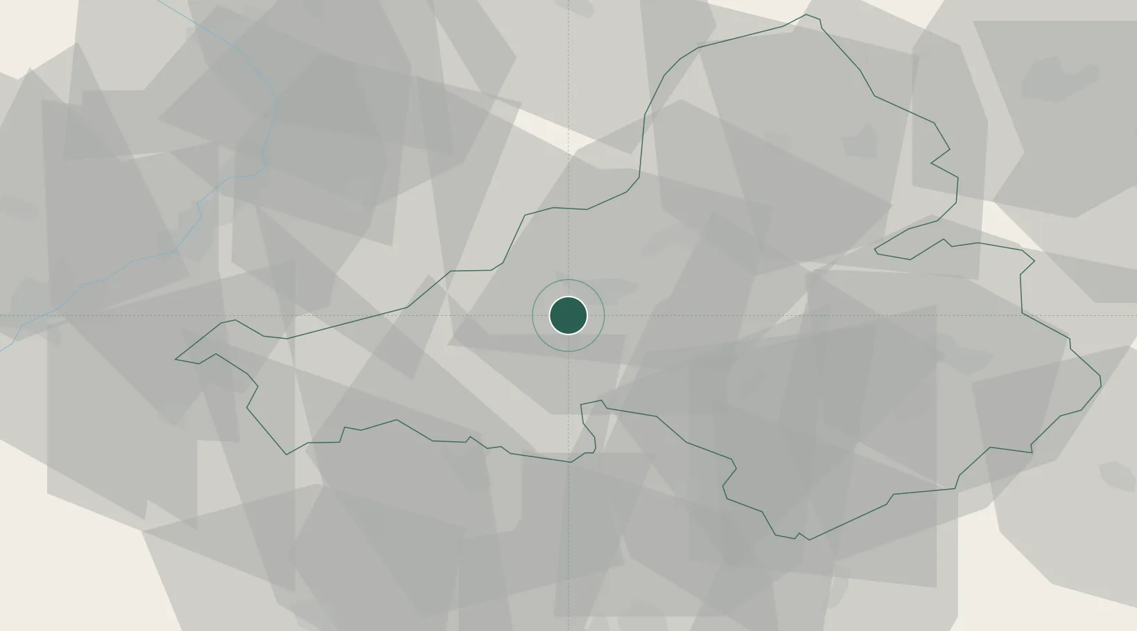
Hub Profile
Place type
Populated place
Region
Trenčín Region
Population
713
Time zone
Europe/Bratislava
Elevation
201 m
Location
Nearby Logistics Neighbours
Cities
- 1Bosáca11 km
- 2Trencianska Teplá13 km
- 3Trencianske Teplice15 km
- 4Nova Dubnica17 km
- 5Dubnica nad Váhom20 km
Ports
- 1Bakar473 km
- 2Rijeka Luka474 km
- 3Monfalcone477 km
- 4Trieste478 km
- 5Omisalj480 km
Airports
- 1Piešťany Airport28 km
- 2Kunovice Airport44 km
- 3Žilina-Dolný Hričov Airport63 km
- 4Přerov Air Base77 km
- 5Malacky/Kuchyňa Air Base81 km
Trade Zones
DatabookThe Record of Consolidated Knowledge
Slovakia beyond logistics?