UN/LOCODE hub · Slovakia
SKTST
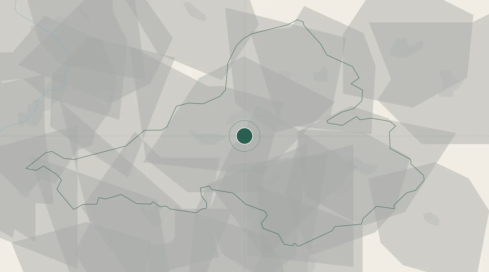
Trencianske Teplice
48.9000°, 18.1667°
3,931
Population
1
Transport functions
Transport Functions
Multimodal
Hub Profile
Place type
Populated place
Region
Trenčín Region
Population
3,931
Time zone
Europe/Bratislava
Elevation
267 m
Location
Nearby Logistics Neighbours
Cities
- 1Trencianska Teplá5 km
- 2Nova Dubnica6 km
- 3Dubnica nad Váhom8 km
- 4Ilava12 km
- 5Vel'Ke Bierovce15 km
Ports
- 1Bakar486 km
- 2Rijeka Luka487 km
- 3Monfalcone491 km
- 4Trieste492 km
- 5Omisalj493 km
Airports
- 1Piešťany Airport39 km
- 2Žilina-Dolný Hričov Airport49 km
- 3Kunovice Airport55 km
- 4Sliač Airport77 km
- 5Přerov Air Base81 km
Trade Zones
DatabookThe Record of Consolidated Knowledge
Slovakia beyond logistics?