Transport Functions
Rail
Border Crossing
Hub Profile
Place type
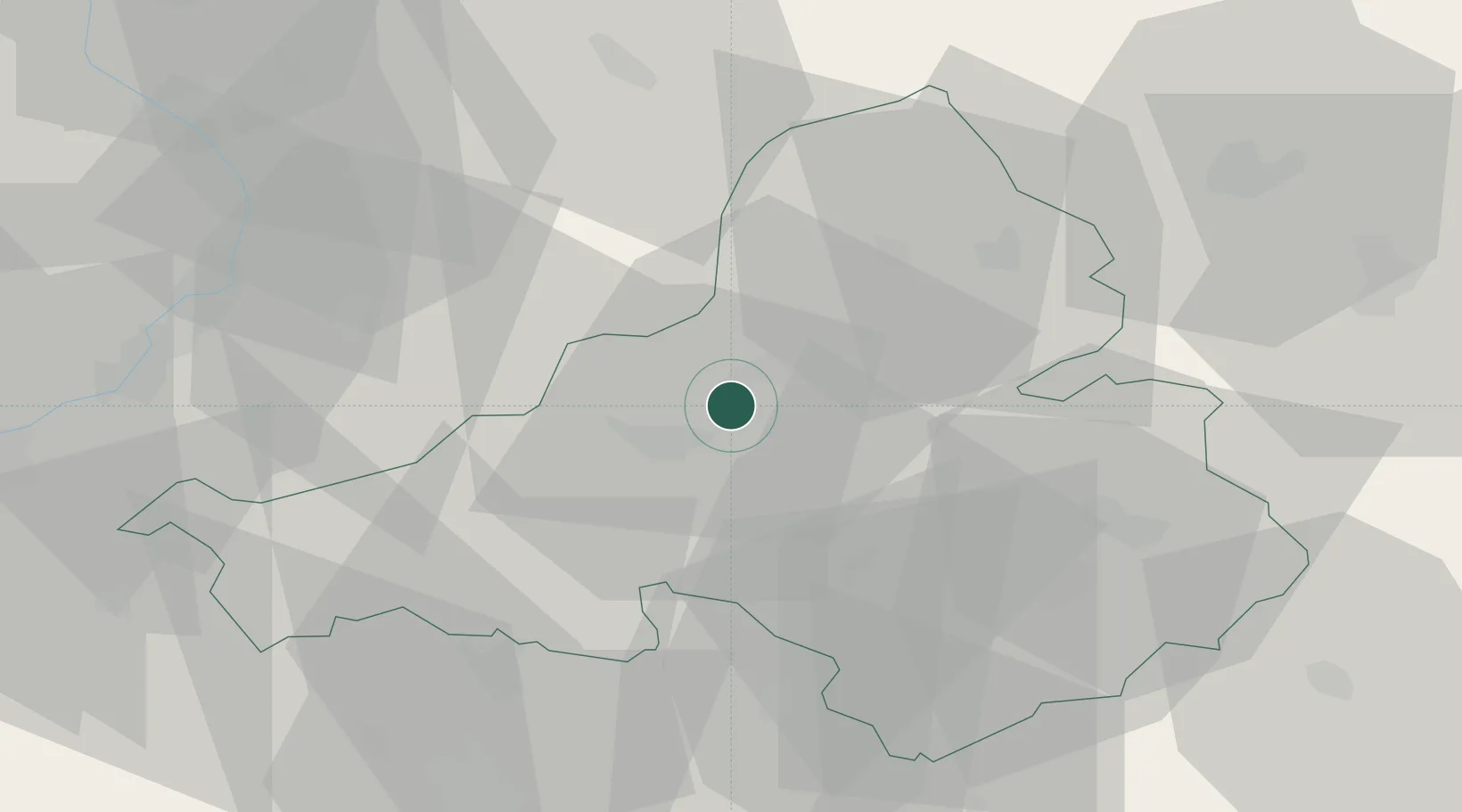
Populated place
Region
Trenčín Region
Time zone
Europe/Bratislava
Elevation
222 m
Location
Nearby Logistics Neighbours
Cities
- 1Nova Dubnica3 km
- 2Trencianske Teplice5 km
- 3Dubnica nad Váhom6 km
- 4Ilava10 km
- 5Vel'Ke Bierovce13 km
Ports
- 1Bakar486 km
- 2Rijeka Luka488 km
- 3Monfalcone491 km
- 4Trieste492 km
- 5Omisalj494 km
Airports
- 1Piešťany Airport40 km
- 2Žilina-Dolný Hričov Airport49 km
- 3Kunovice Airport51 km
- 4Přerov Air Base75 km
- 5Sliač Airport82 km
Trade Zones
DatabookThe Record of Consolidated Knowledge
Slovakia beyond logistics?